Concrete and Infrastructure Studies

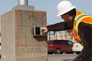
 Geophysics is an important forensic tool in a wide range of infrastructure related studies. The non-destructive tests (NDT) enable the engineer or geophysicist to inspect the interior of a structure without the need to physically dig, drill or otherwise destroy part of the structure. GeoView has performed thousands of infrastructure related studies for both governmental agencies and private contractors throughout the United States and the Caribbean. The methods GeoView most commonly applies to infrastructure studies are methods include:
-
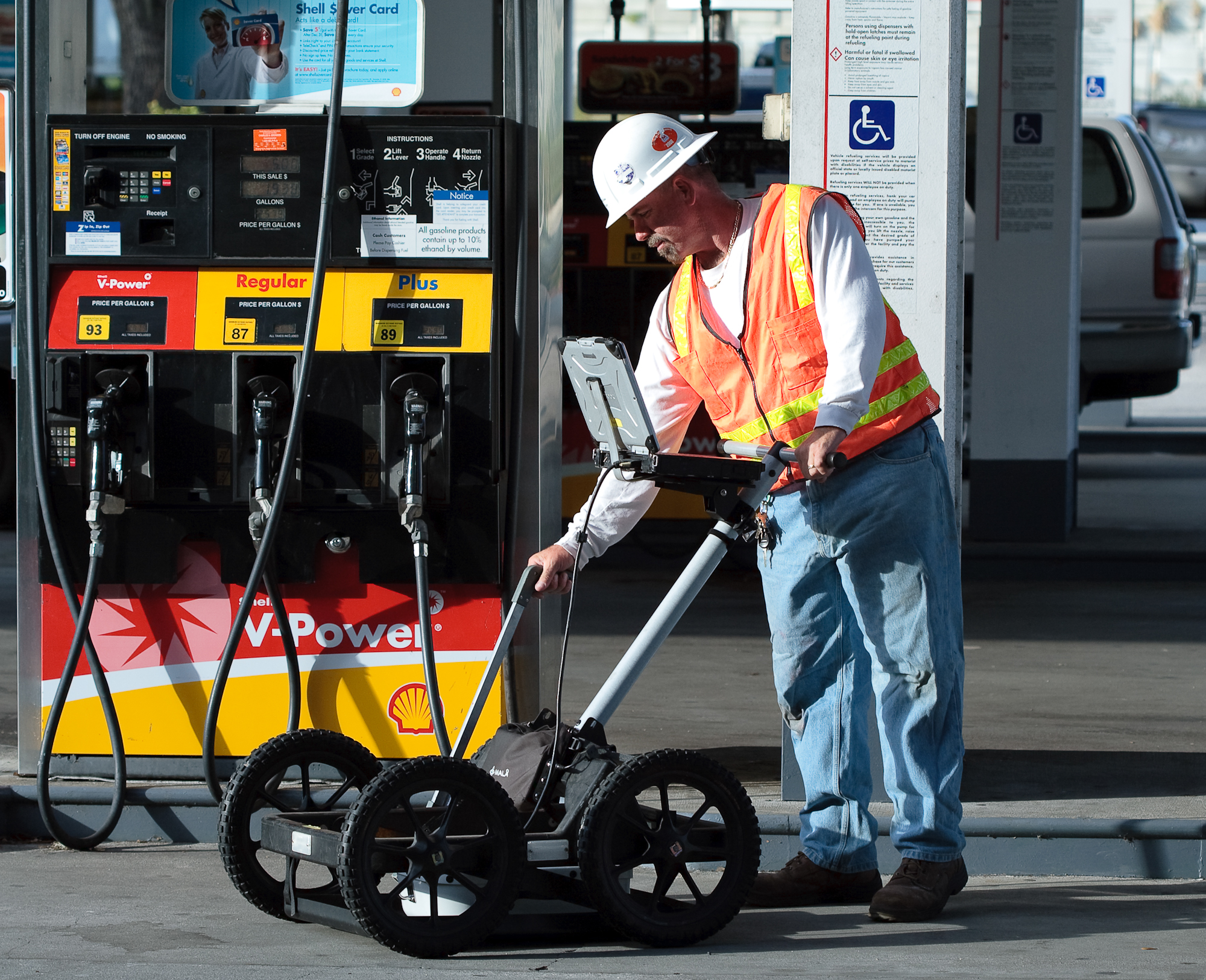
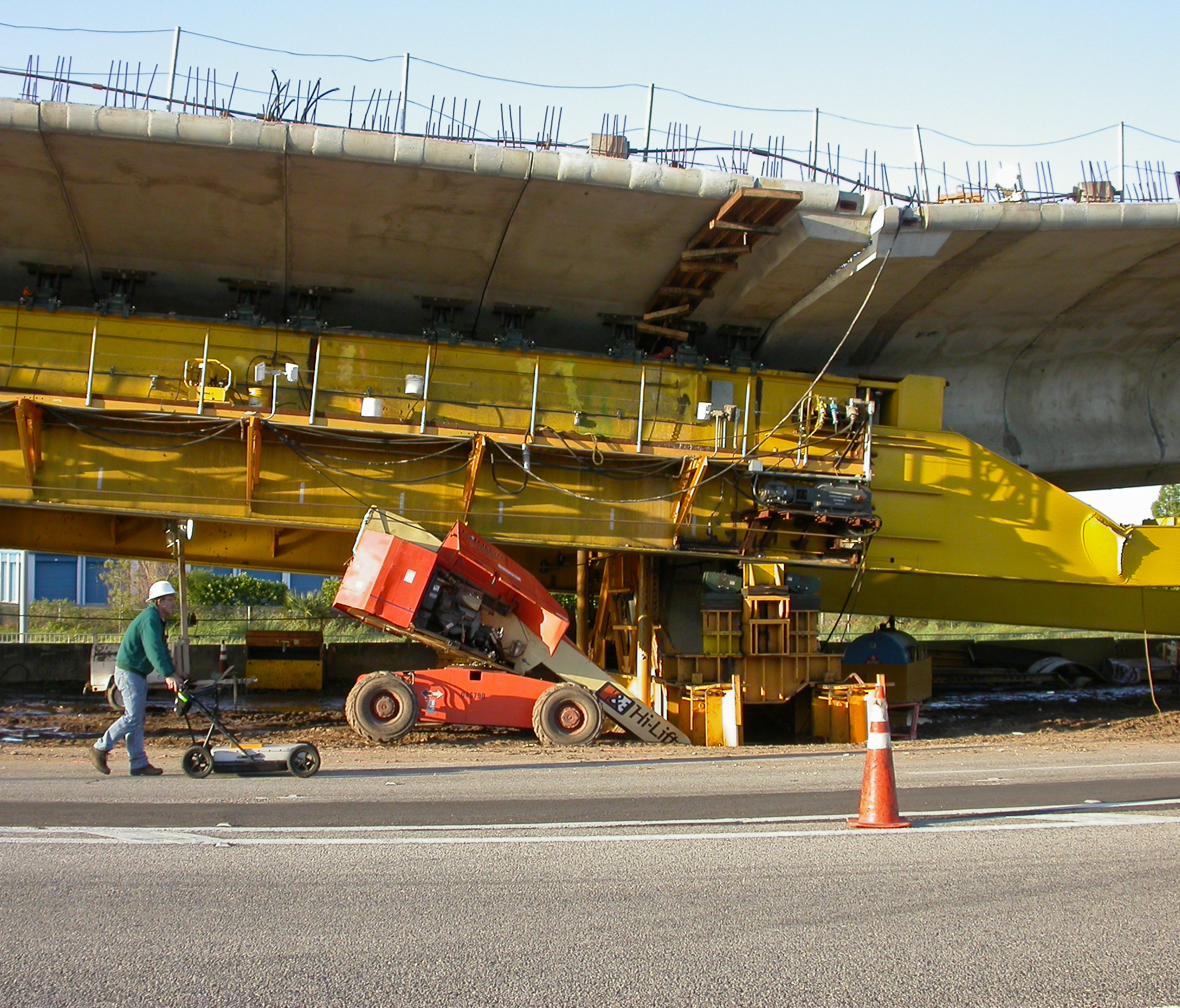
Ground Penetrating Radar to help locate rebar, post tension cable, voids, honeycombing, spalling,
 filled masonry cells, foundation limits and help determine concrete and pavement thickness. It is also being used to locate areas of rebar corrosion during bridge deck evaluations, although this is an area of ongoing research.
 -
Thermal Imaging to help locate filled cells, shallow voids, honeycombing, leaking pipes and potential electrical problems.
-
Impact Echo to help determine the thickness of a

concrete, wood, stone or masonry structure and detect flaws (cracks, honeycombing, voids, joints) within that structure. - Slab Impulse Response to locate and map sub-grade voids below slabs on-grade.
-
Pile Integrity Testing to evaluate the length of foundation elements or depth to major flaws in construction.
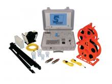 Crosshole Sonic Logging to evaluate internal defects within drilled shafts and slurry walls. The procedure measure the velocity and signal strength of ultrasonic waves between two or more access tubes present within the structure being test.
-
Electrical conductivity and self-potential surveys to locate area of rebar corrosion within concrete slabs and decks.
- Ultrasonic Pulse Velocity to help identify areas of voids, honeycombing, cracks and other damage within concrete beams, walls and columns.
-
Borehole Logging Studies to provide information on soil an rock properties and provide clear images of core and borehole walls.
 GeoView employees are certified in Ground Penetrating Radar, Infrared Thermography, Impact Echo techniques, Pile Integrity and Crosshole Sonic Logging. In addition, because GeoView owns all the equipment necessary to perform any of the services listed above, you can be sure that the correct method will be chosen and used for your project.


