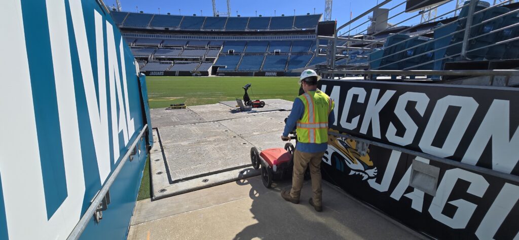
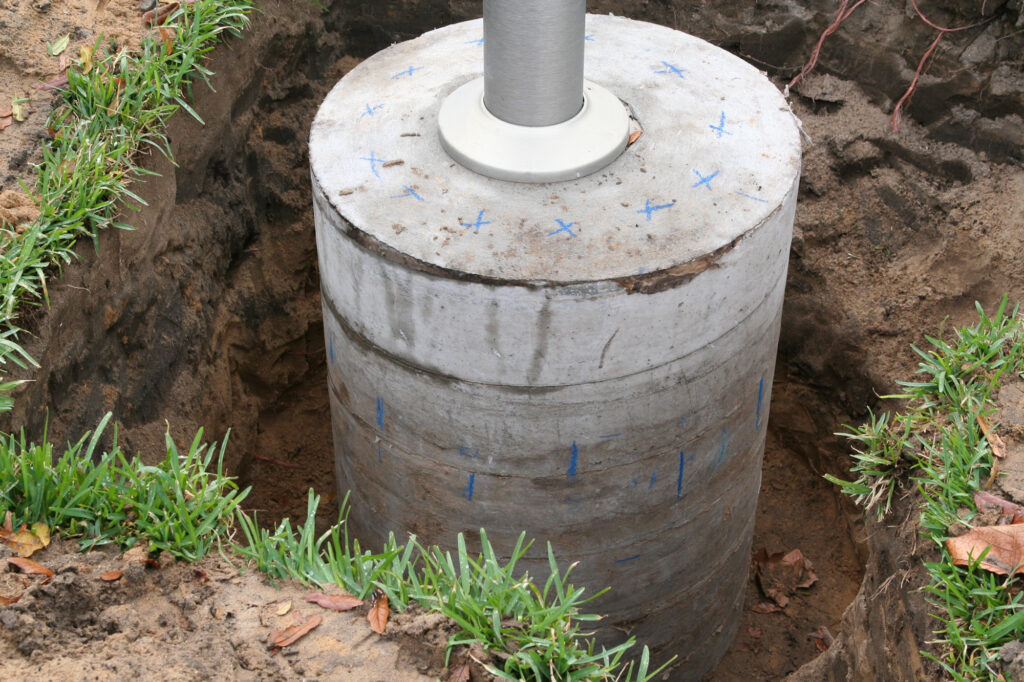
Ground Penetrating Radar

GeoView owns and operates over 24 Ground Penetrating Radar (GPR) systems from the world's leading manufacturers including MALA and GSSI. GeoView's senior personnel have been using GPR for over 20 years and are well versed in the applications and limitations of the method.

GPR operates by sending short pulses of electromagnetic radiation (in the approximate frequency range for an FM radio) into a material and recording the strength and the time required for the return of the reflected signal. Reflections are produced whenever the energy pulse encounters a material with different dielectric (electrical) properties. Reflecting interfaces may be soil horizons, the groundwater table, soil/rock interfaces, man-made objects, or any other interface possessing a contrast in electrical properties. The amplitude of the reflection is determined by the contrast in the electrical properties at the interface between the two materials. Portions of the signal get reflected back up at the interface, while other portions continue through the material towards deeper reflectors until all of the measurable energy has been attenuated by the subsurface. Depending on the site conditions, two to four progressively deeper interfaces can be resolved.

The rate of signal attenuation varies widely and is dependent on the properties of the material through which the pulse is passing. Highly conductive materials (clay, organics or saturated soils) attenuate the signal more rapidly than resistive materials (ice or sand) and therefore diminish the depth of penetration of the GPR signal. Another factor of the depth of penetration of the GPR signal is the frequency of the transmitted energy. Lower frequencies can penetrate deeper into the subsurface, but have lower resolution than higher frequencies. GeoView has a wide range of GPR antenna frequencies which allow the appropriate frequency to be used on a specific project. The antenna frequencies include 100 MHz, 250 MHz, 270 MHz, 400 MHz, 500 MHz, 800 MHz, 900 MHz, 1,300 MHz, 1,600 MHz, 2,300 MHz and 2,600 MHz. 

Data can be viewed real time or post processed as individual vertical 2-D transects or complied together during post processing to create 3-D depth slices of the subsurface. 

GeoView has used GPR successfully on the following types of projects:

  •  Geological Characterization Studies
  • Sinkhole Investigations
  •  Utility Designation
  •  Void Detection
  •  Archaeology Surveys
  •  Concrete Investigations
  •  Rebar and Post Tensioning Cable Locating
  •  Environmental Studies
  •  Road and Bridge Deck Surveys


Click on any of the GeoView GPR Data Samples to Enlarge

GPR Data showing Rebar and Bottom of Slab

GPR Data Showing Rebar and Underlying Beam

GPR Data Showing a Culvert and a Utility

GPR Data Showing a Culvert and a Utility


GPR Data Showing Landfill Boundary


GPR Data Showing a Suspected Sinkhole Feature


GPR Data Showing Suspected Trench Feature

GPR Data Showing Hollow and Filled Concrete Cells

GPR Showing a Shallow Void

GPR Data Showing a Void Under a Concrete Slab

GPR Data From a Pavement Evaluation Study

 3D GPR sample Showing Rebar

3D GPR Data Showing Rebar