


GPR Study to Map Concrete Spalling
Clearwater Beach, Florida
GeoView was tasked with helping map areas of potential concrete spalling and rebar depth on balconies at a beachfront condominium. Concrete spalling is typically caused by expansion of the rebar as it corrodes and deteriorates. The rebar corrosion occurs due to moisture entry through the concrete and the slow degradation of the rebar caused by the naturally alkaline state of concrete.
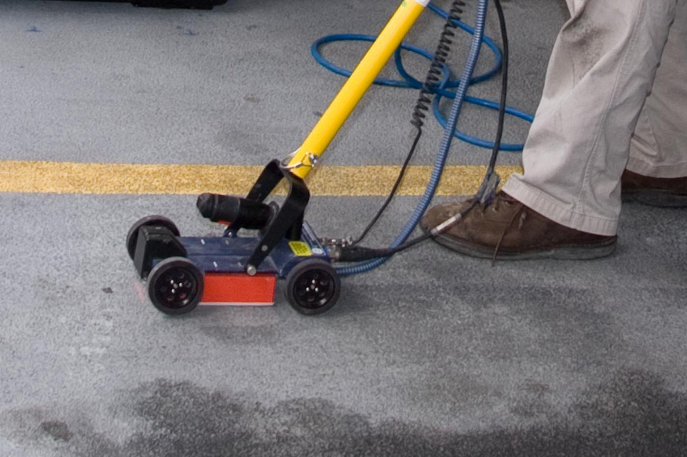 The geophysical investigation was conducted using a GSSI Structure Scan ground penetrating radar (GPR) system. On site testing determined that 1600 Megahertz antenna provided the best resolution of the radar data. The data was collected on a series of perpendicular transects lines spaced 3 inches apart. Both 2-dimensional and 3-dimensional data was collected at the site.
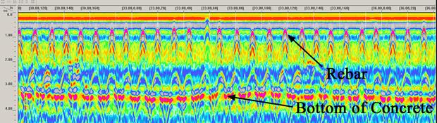
The location of the rebar and areas of shallow rebar (insufficient cover thickness) were clearly visible on the GPR depth slices. Areas of spalling and suspected rebar deterioration were also evident.
