


Electronic Utility Locating
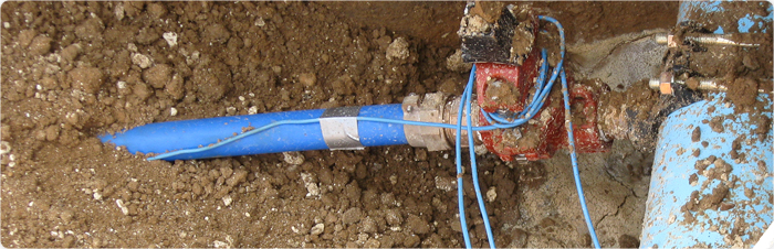
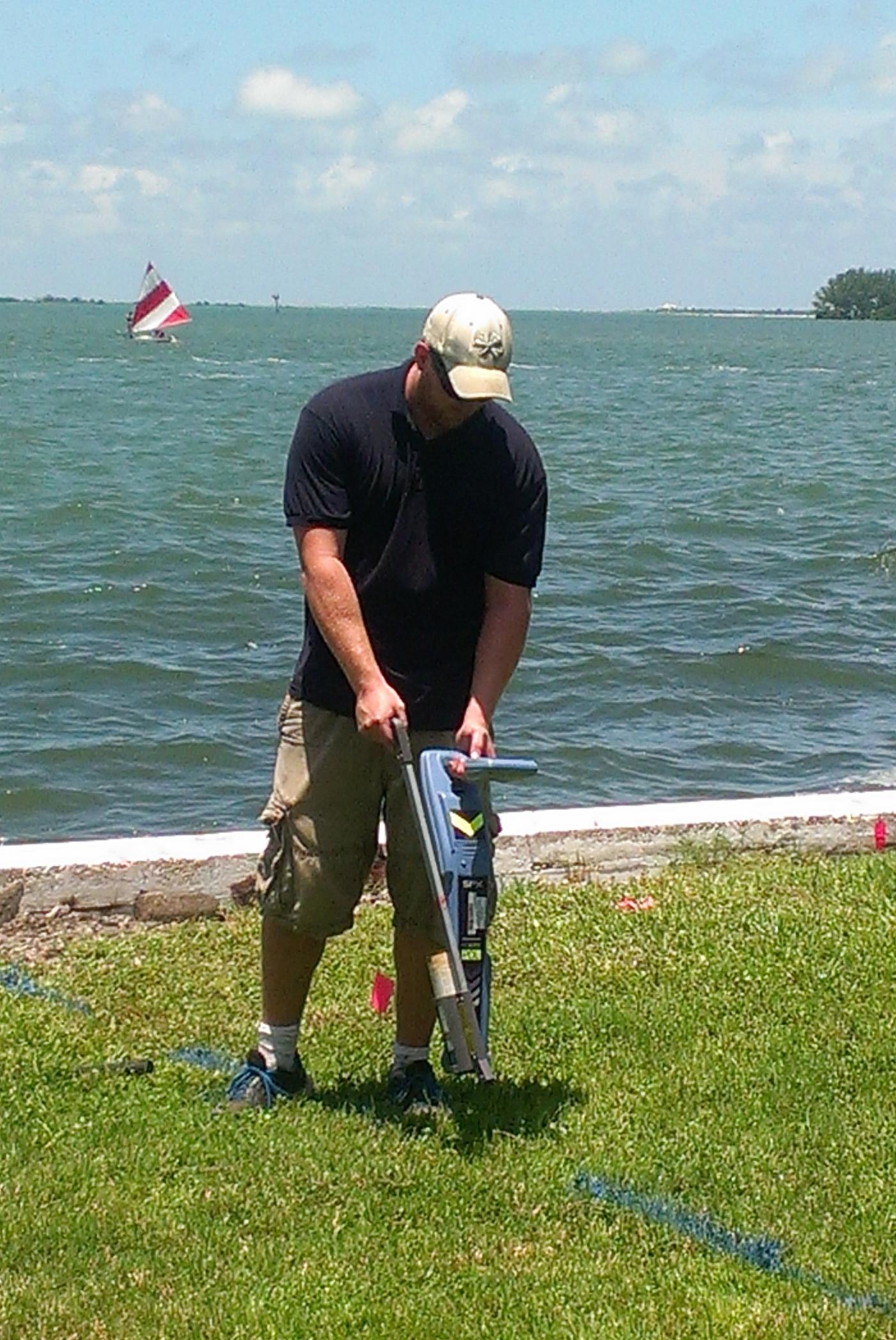
Conventional Pipe and Cable locators are an important tool used in most utility designation studies. The locators can be used in either a passive or active mode. The most common use for the passive mode is to find cables and conduits carrying live power (50-60 Hz) and communication cables (29-33Hz) signals. In the active mode, a current is transmitted or broadcast into a metal pipe or conduit and the path of the pipe/conduit is identified by following the signal with a portable receiver. It is used to trace out cast iron pipes, metal water and sewer lines, utilities that have trace wires, and inactive power and communication lines.
 The maximum depth of investigation of a pipe and cable locator typically ranges from 15 to 18 feet deep. Depth estimates can be accurate to within several inches in ideal conditions. For pipes or conduits that are deeper (to depths of 30 to 40 ft and that are accessible), GeoView can push or pull a sonde transmitter through a pipe and track it with the receiver at ground surface. For underwater surveys, GeoView uses a diver with a remote, submersible Radio Detection antenna. This is used to locate underwater pipes prior to dredging, bridge construction or other marine applications. After locating the pipeline, the positions can be recorded using differential GPS systems. GeoView owns and is trained in the use of pipe and cable locators from Radiodetection, Subsite Electronics, Pipehorn, and the Schonstedt Instrument Company.
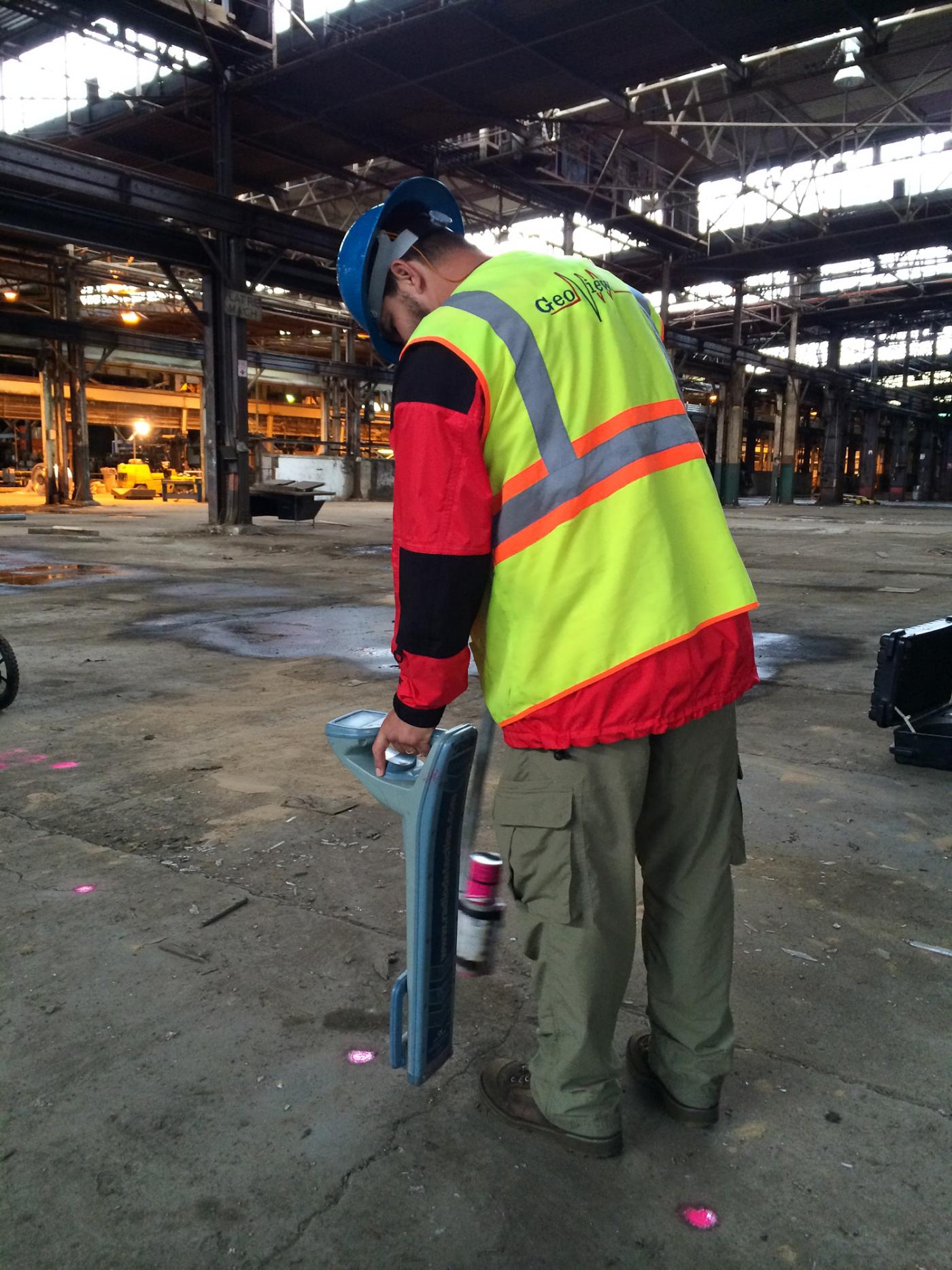
Locating Utilities within an Abandoned Steel Factory
")
Locating Communication Lines
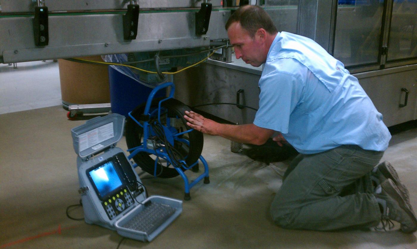
Using a Pipe-Camera to Map Sewer Laterals

Marine Survey to Locate an Underwater Pipeline
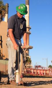
Locating a Seawall Tieback