Environmental Studies

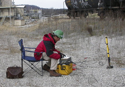
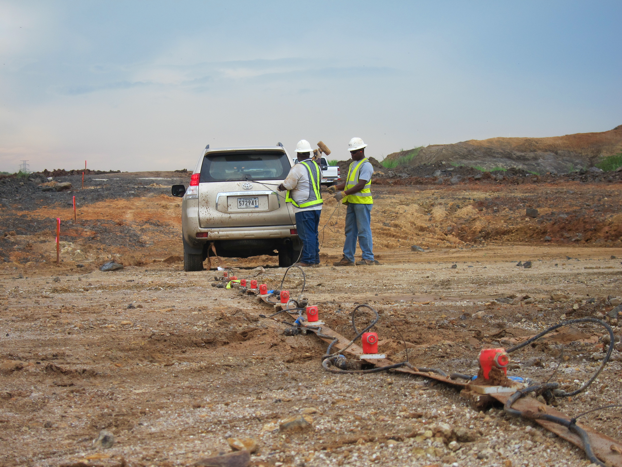
Geophysics has been successfully applied to environmental investigations for many decades and has become even more accurate and cost effective with the integration of global positioning systems and more advanced computer modeling. Typical GeoView geophysics applications include:
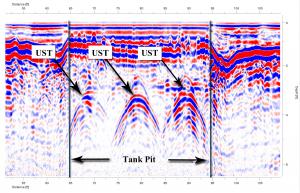
Identifying Underground Storage Tanks (USTs) and Tank Pits
-
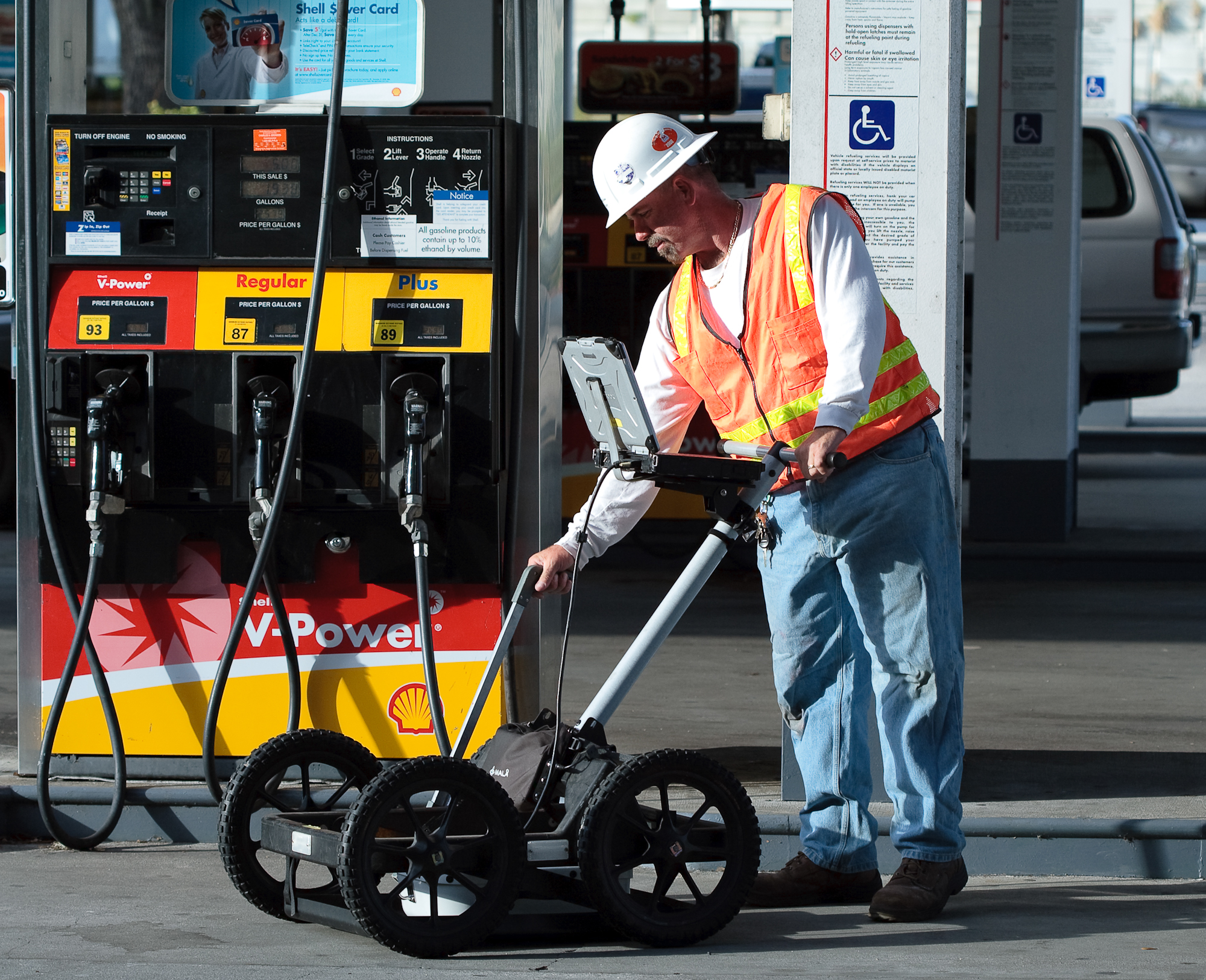
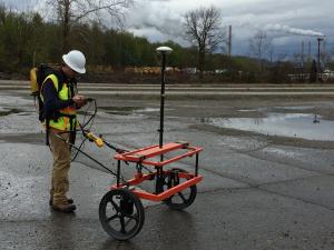
The surveys are typically performed with both time domain electromagnetics (TDEM) and ground penetrating radar (GPR). The TDEM is used to located areas of buried metal and the GPR is used to characterize the geometry and depth of the targets.
Mapping Underground Utilities prior to Drilling or Excavation
-
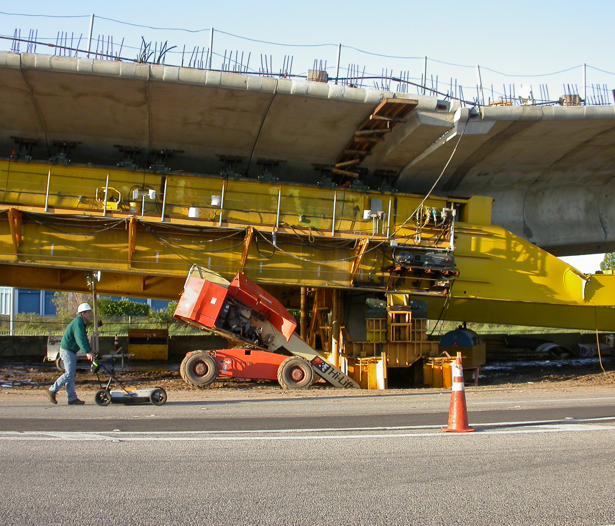
The surveys are typically performed with a GPR and conventional electronic utility locators. The GPR is used to image non-metallic utilities (fiberglass fuel lines, PVC water lines, sewer, etc.) while the electronic utility locators are used to find electrical and telecommunication lines.
Delineating Karst Geological Conditions and Mapping Confining Units
-
Identifying the karst features and groundwater confining units below a project site is necessary for groundwater flow models and determining locations for DNAPL traps. The surveys are typically conducted with GPR, ERI, seismics or gravity.
-
The surveys are typically performed with a combination of GPR, TDEM, frequency domain electromagnetics (FDEM) or magnetics. The chosen method(s) is dependent upon the depth of burial, site accessibility, budget and estimated quantity.
Mapping Ground Water Contamination Plumes
-
The surveys are typically performed with a combination of FDEM, ERI or borehole methods. The chosen method is dependent upon the chemical composition of the plume, depth of burial of the plume and site access.
Mapping the Horizontal and Vertical Extent of Buried Metallic and Non-Metallic Debris
-
The surveys are typically performed with a combination of GPR, TDEM, FDEM, magnetics or electrical resistivity imaging (ERI). The chosen method(s) is dependent upon the composition, depth of burial, site access, budget and estimated lateral extent of the debris.
I dentifying Unexploded Ordinance
-
The surveys are typically performed with TDEM or Magnetics.
Mapping Archaeological Artifacts
- The surveys are typically performed with GPR, TDEM, FDEM or Magnetics.

