Seismic Refraction and MASW Study
Proposed Gatun Bridge, Colon, Panama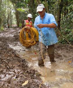
The Autoridad del Canal de Panama (ACP) conducted a geotechnical investigation along the footprint of a proposed bridge crossing of the Panama Canal, north of the Gatun Lock. As part of the geotechnical study, GeoView, Spotlight Geophysics and ATI Panamericana were tasked to provide seismic P-wave and S-wave velocity structure of the subsurface. The consortium collected seismic refraction and multi-channel analysis of surface waves (MASW) data along survey transects approximately 4 kilometers in length. The terrain was extremely rugged and access was difficult along portions of the site.
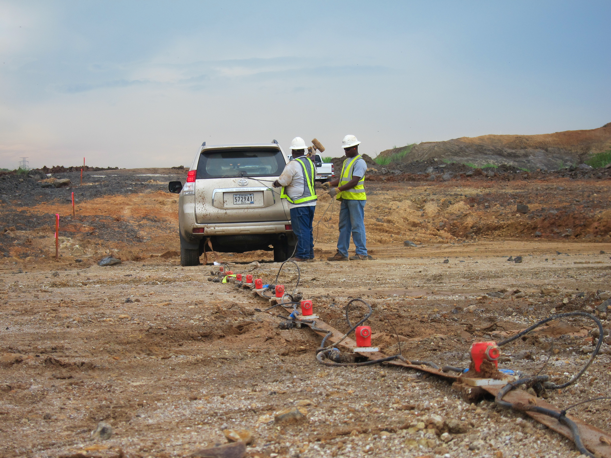
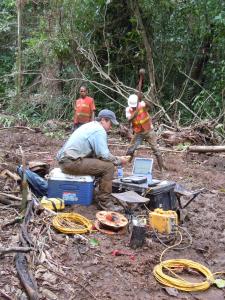 MASW data were recorded using a Geometrics Smartseis ST seismograph and 4½-Hz geophones. Each seismic array consisted of 24 geophones with an inter-geophone spacing of 1.5m, for a total array length of 34.5m. Data were processed using SurfSeis v. 2.0. Seismic Refraction data were recorded using two Geometrics Geode and 40-Hz geophones. Each seismic array consisted of 48 geophones with an inter-geophone spacing of 3 meters, for a total array length of 141 meters. The travel times of the P-wave energy were manually picked for each shot using Pickwin (OYO Corporation). The travel-time picks were imported into Plotrefa (OYO Corporation) for modeling.
Excellent data quality was obtained with each method and provided S-wave and P-wave velocity models to depths of 30 meters. The general results of the survey indicate that the top of the unweathered Gatun Formation is shallow (<5m deep) over much of the survey area west of the Canal. The unweathered Gatun Formation is significantly deeper (25-28m deep) over much of the survey area east of the Canal. Very soft fill and/or sediments cover the survey area east of the Canal. Localized zones of lower-velocity material occur throughout the survey area and are attributed to pockets of thicker sediment in-filling weathered zones within the Gatun Formation.


