Utility Locating at a Gasoline Station
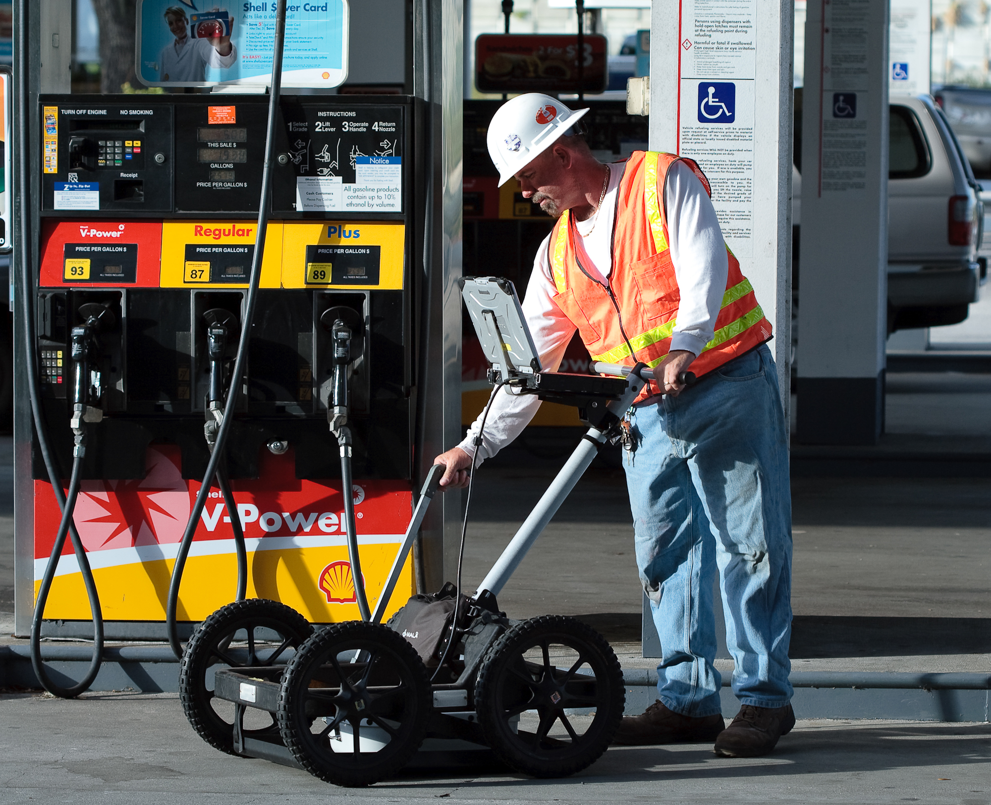
As part of an Phase II Environmental Site Assessment at a gasoline station, GeoView was tasked with locating and mapping the utilities within the boundaries of the property.  The utilities included electrical lines, communication lines, PVC and metal water lines, sewer lines and fiberglass fuel lines. The property did not have any as-builts to reference. As standard procedure, GeoView personel had the required general and site specific safety and API worksafe training.
GeoView used a combination of ground penetrating radar (GPR) with 270, 400 and 900 MHz antennas and conventional pipe and cable locating equipement to locate the utilities. The locations and approximate depths of the utilities were painted on the ground surface and recorded on a scaled AutoCAD site map. Subsequent trenching and drilling activities we completed without any utility conflicts.


