Utility Locating and Mapping at a Power Plant
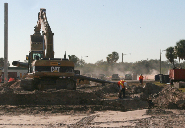
An expansion was planned at a power plant in west central Florida. As part of the design build plan, all of the utilities within the proposed building footprint had to be located and mapped.
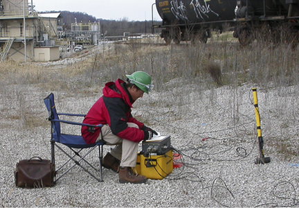
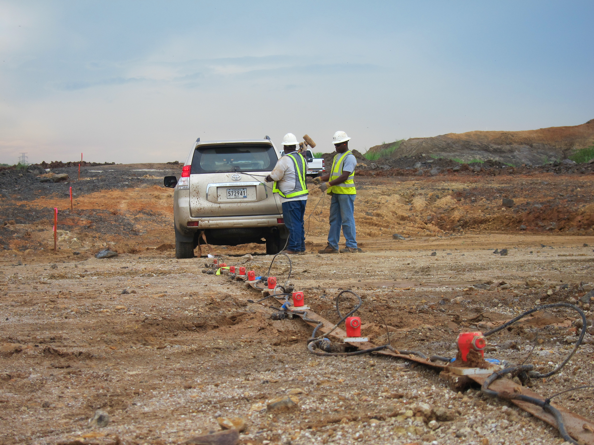
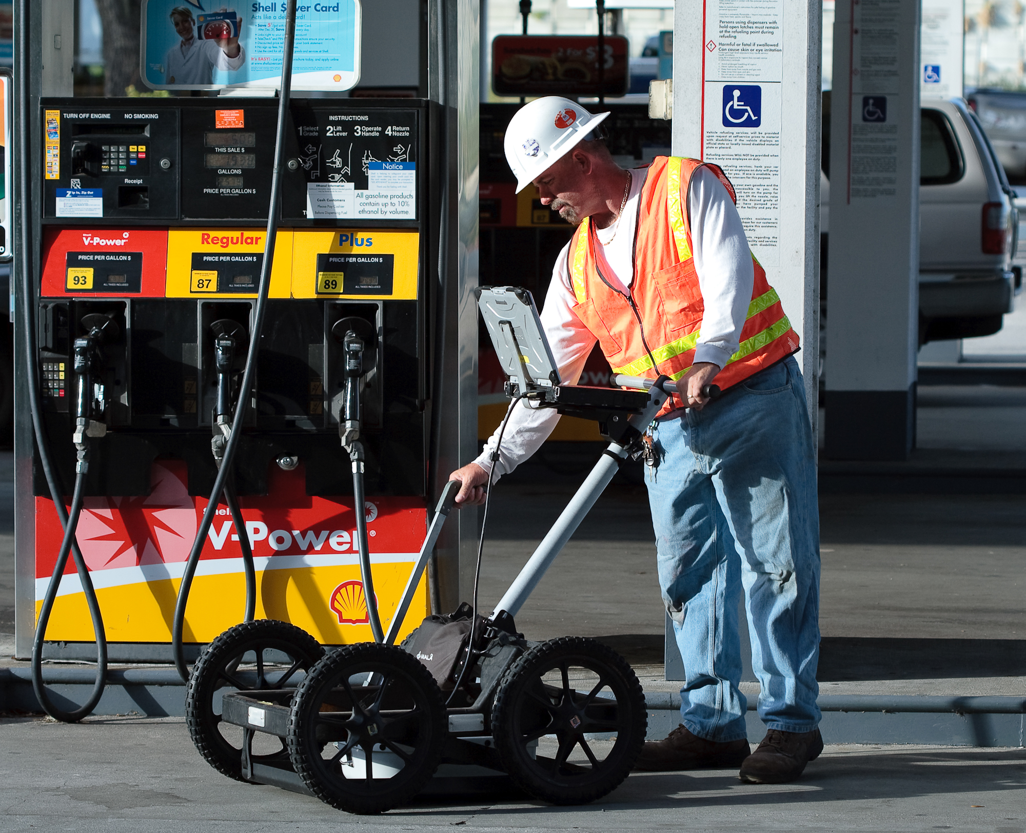
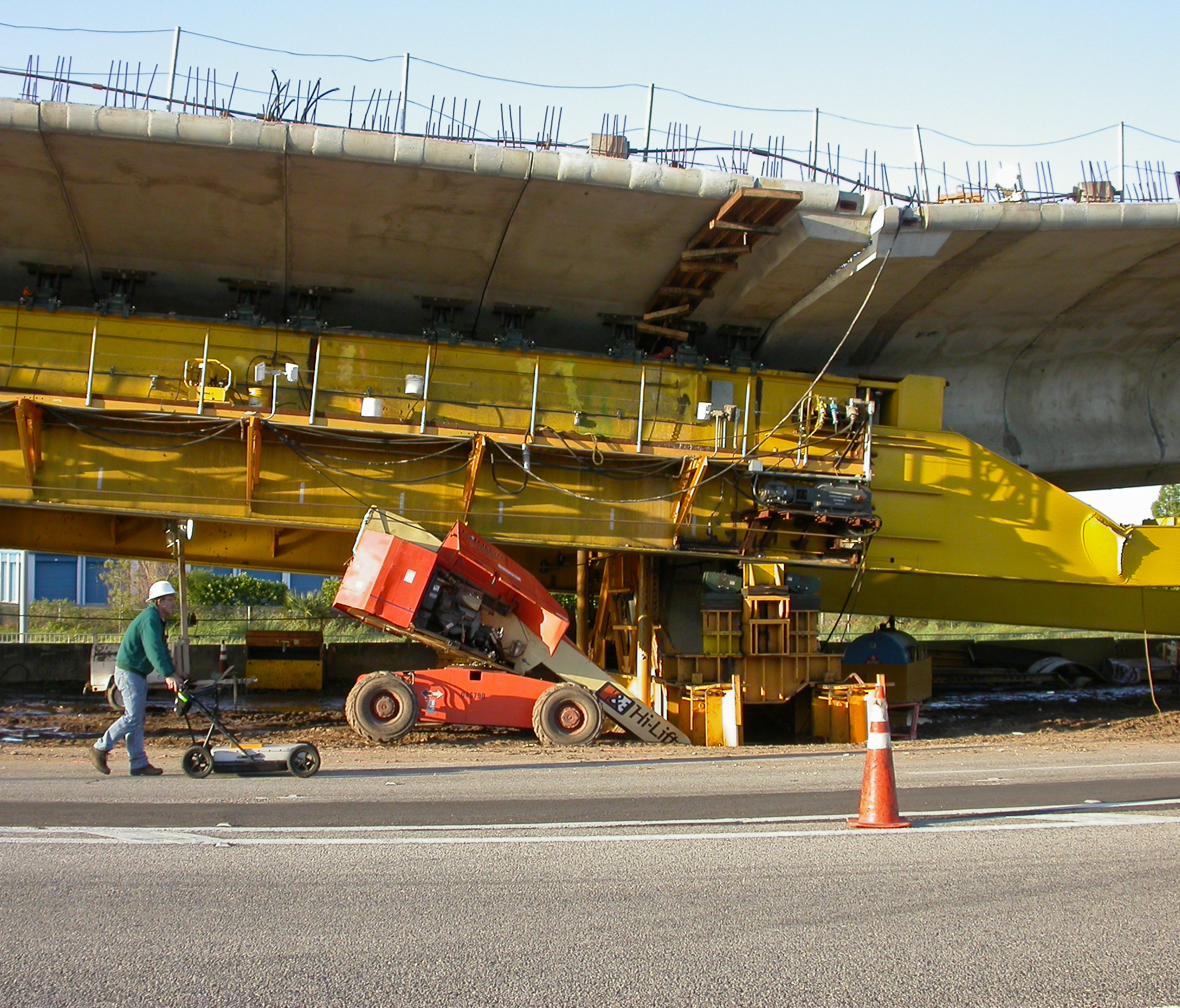
 There were two phases of the investigation. Utility designation was the first phase. This involved studying existing as-builts, performing site walkthroughs with plant personnel in order to ascertain a working knowledge of what utilities may be onsite and the geophysical investigation. Ground penetrating radar and an electronic utility locator were used during the investigation to locate the suspected utilities within the proposed building footprint and identify previously unknown utilities. Multiple utilities were discovered within the survey area. These utilities included electric lines, potable water lines (both PVC and metal), sewer lines, fiber optic cables, gas lines, water intake lines and chilled water lines. The exact locations of the utilities were marked on the ground surface with marking paint and plotted on a site plan.
 The second phase of the investigation involved using non-destructive vacuum excavation equipment at critical points along specified utilities to determine the precise horizontal and vertical position, the size, and the composition of the underground utilities. Twelve vacuum excavation test holes were performed to identify the critical utilities. Many of the test holes were performed at “intersections” of suspected utilities in order to minimize the number of test holes and therefore minimize the cost of the second phase of the survey.
