Seismic Study at the Pacific and Atlantic Locks of the Panama Canal
Panama Canal Zone
Grupo Unidos Por el Canal (GUPC) was tasked with characterizing subsurface conditions within the Third Set of Locks Project for the Panama Canal. In support of their characterization efforts, GUPC requested that seismic geophysical data be acquired at four locations within the project area. These locations include portions of the:
• Miraflores Cofferdam
• Atlantic Approach Channel
• Atlantic Gates Parking Area
• Pacific Gates Parking Area
GUPC retained the team of GeoView, Inc. and Spotlight Geophysical Services and ATI Panamericana, S.A. to carry out the geophysical survey. The purpose of the survey was to help locate the Miraflores fault and to provide P and S wave velocity data of the sub-subsurface. The Miraflores fault is located near the Pedro Miguel Fault that runs beneath the Panama Canal west of Panama City. The Pedro Miguel Fault last ruptured in a large earthquake in 1621. That earthquake resulted in nearly 10 feet of displacement where the fault crosses the canal, and a similar amount of offset of the historical Camino de Cruces, the old Spanish cobblestone road.
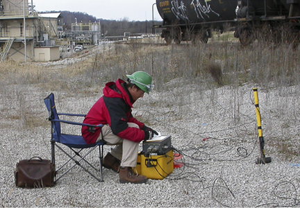
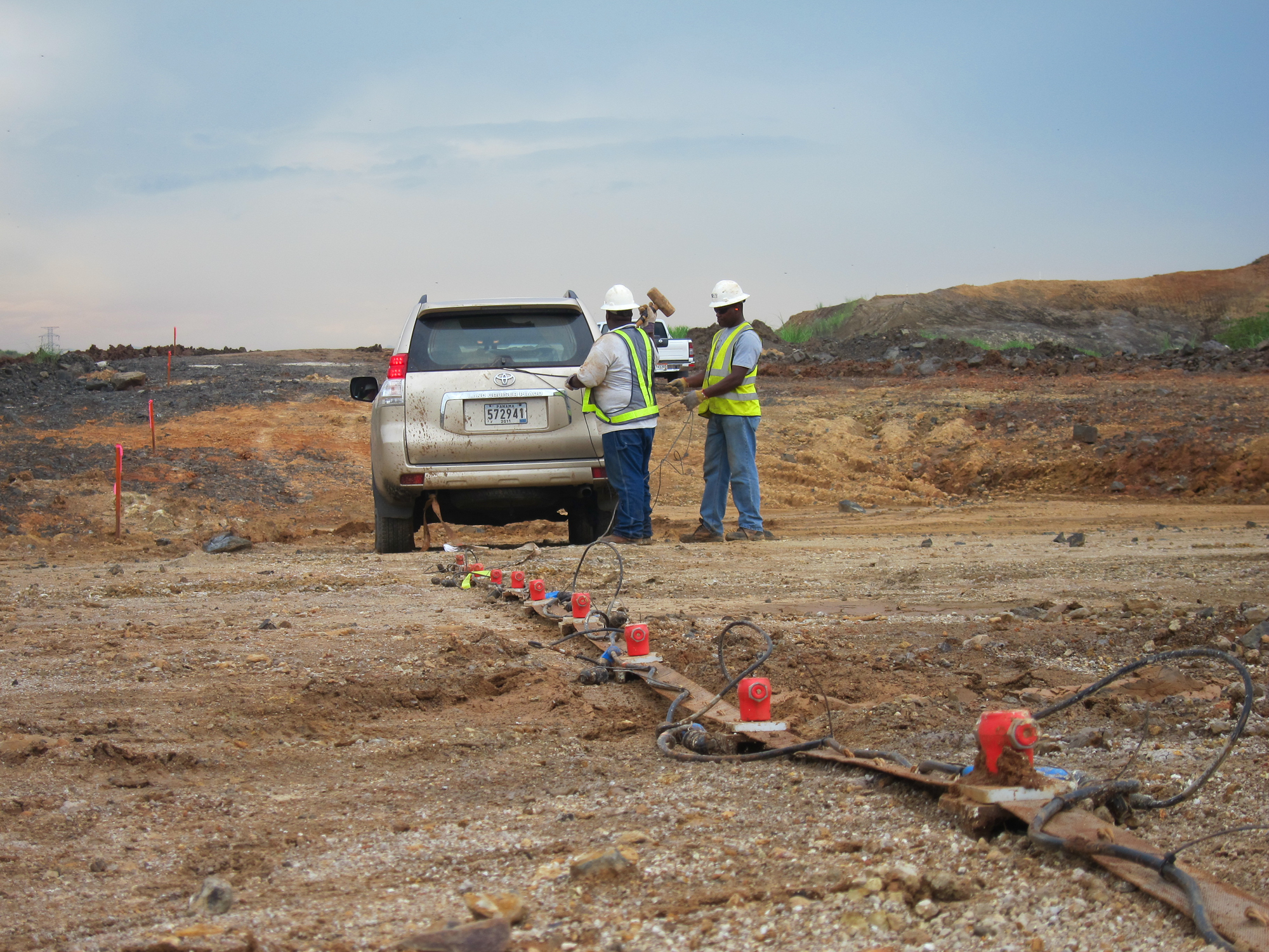
 Two non-invasive surface geophysical methods were used for this geophysical investigation: Multi-channel Analysis of Surface Waves (MASW) and Seismic Refraction. A total of approximately 2000 meters of MASW and seismic refraction data were collected. MASW data were recorded using a Geometrics Smartseis ST seismograph and 4½-Hz geophones. Each seismic array consisted of 24 geophones with an inter-geophone spacing of 1.5m, for a total array length of 34.5m. Data were processed using SurfSeis v. 2.0. Seismic Refraction data were recorded using two Geometrics Geode and 40-Hz geophones. Each seismic array consisted of 48 geophones with an inter-geophone spacing of 3 meters, for a total array length of 141 meters. The travel times of the P-wave energy were manually picked for each shot using Pickwin (OYO Corporation). The travel-time picks were imported into Plotrefa (OYO Corporation) for modeling.
 Modeled cross-sections developed from the data generally correlate with existing boring data and were used to refine the mapped location of the Miraflores Fault and assess lateral variations in seismic velocity associated with anomalous subsurface conditions.
Exposure of the Miraflores Fault
 Collection of Data on the Atlantic Side
Columnar Basalt Formation
Collection of Data on the Pacific Side
Collection of Data on the Atlantic Side


