Seismic Reflection, Seismic Crosshole and Ground Penetrating Radar
Geophysical Investigation of the Crosstown Expressway. Tampa, FL
In April, 2004 Pier 97 which supported an elevated roadway in Tampa, FL was vertically displaced (collapsed) approximately 10 feet (ft). At the time of the collapse it was not known whether the collapse was associated with geological conditions at the site, specifically karst conditions, or whether is was associated with a construction deficiency.
Immediately following the collapse, GeoView was called to the site by URS (the lead design firm for the project), to initiate a geophysical investigation to characterize the geological conditions in the area of Pier 97. Of specific concern was to determine the presence of voids, fractures or other karst-related features within the limestone bedrock and overlying unconsolidated sediments in the area of the pier. The geophysical investigation was conducted in multiple phases. These phases were designed to provide information at increasing ranges in depth and to evaluate different physical properties of the subsurface earth materials. A brief description of each of the survey methods is provided as follows:
Ground Penetrating Radar
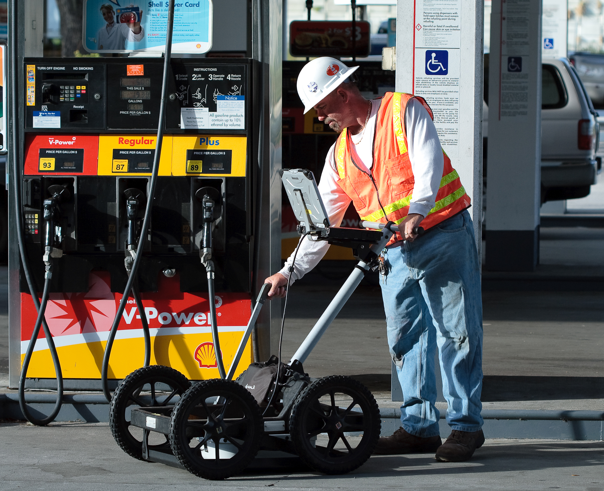
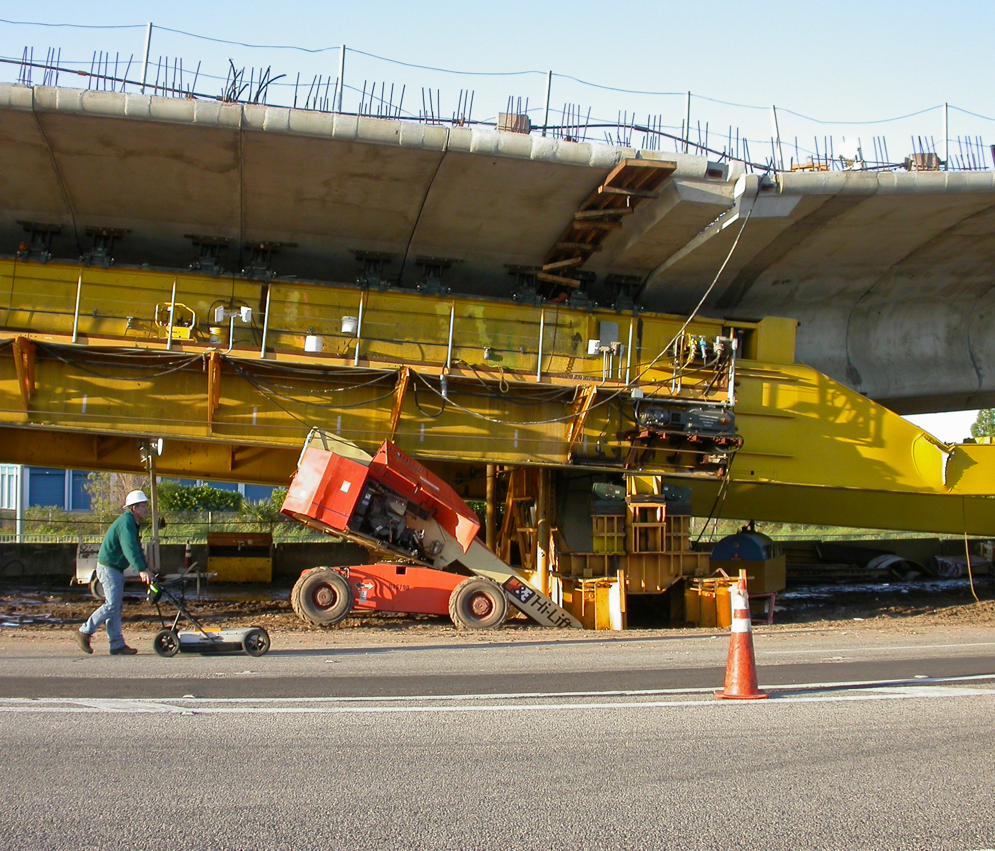
A ground penetrating radar (GPR) survey was performed the morning after the collapse. The GPR method was able to provide a detailed characterization of soil conditions to a depth range of 12 to 20 ft below land surface (bls). Results from the GPR survey indicated that soils within the upper 12 to 20 ft around the pier were stable with no indications of vertical displacement or density changes. This information helped establish that the collapse was not part of karst (sinkhole) activity at depth with an associated upward raveling of soils to the near-land surface.
 High Resolution Seismic Reflection
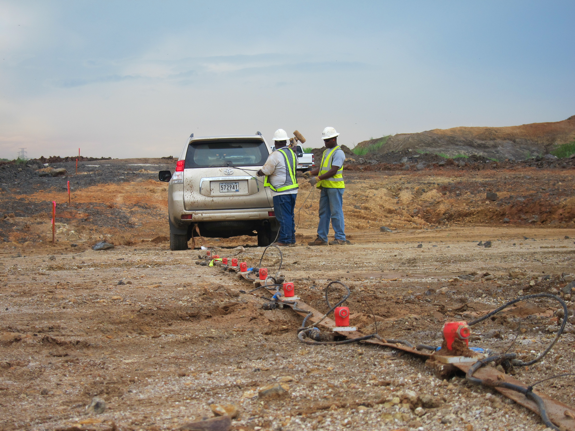
Once it was determined that the collapse was not associated with any near- surface geological features, a high resolution seismic reflection (SR) survey was utilized to characterize conditions to a depth range of 250 to 350 ft bls in the areas of Pier 97 and 98 (which had also begun to settle). The SR method was able to provide information to depths that were significantly greater than any of the SPT borings (typical maximum depths 70 to 80 ft bls) that were performed as part of the design study for the project. Areas of possible karst activity were identified in several areas along each of the profile lines. These areas of interest were characterized by vertical offsets or discontinuities in one or more of the reflector sets or a lateral change in the amplitude of the reflection within areas between reflector sets. These conditions were present within a depth range of 25 to 200 ft below land surface (bls). Each of these areas were subsequently tested using SPT borings to depths of up to 170 ft bls. Through the combined information from the SR survey and SPT borings it was determined that Pier 97 was within a large diameter paleo-collapse sinkhole. In one of the borings, highly weathered (weak) limestone was encountered to a depth of 170 ft bls while nearby borings indicated competent rock at 60 to 70 ft bls.
Final Determination
As indicated by the SR results and confirmed by the subsequent SPT borings, it was confirmed that the Pier 97 was in the middle of an ancient in-filled paleo-collapse (sinkhole feature). This feature was not identified in the original SPT boring that was performed as part of the design process. If no loads had been placed on the feature, it most likely would have remained stabilized. The feature was only identified through appropriately applied geophysical testing. It was also determined that depth to competent limestone was highly variable in both the area of Pier 97 and in the areas of other piers that were subsequently tested both geophysically and with SPT borings. In some instances depth to competent rock varied 10 to 15 ft over lateral distances of 10 to 20 ft, indicating pinnacle karst conditions. This high variability in limestone depth in the areas of individual piers could not have been resolved by a single boring, but would have been identified if a geophysical survey had been conducted prior to construction.
Testing of Other Piers
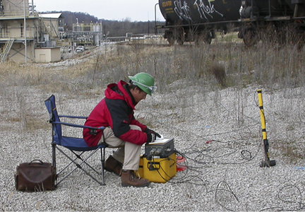
 Once it was confirmed by a continuous concrete coring through the entire length of Pier 97 that the pier was intact and had not failed due do a structural deficiency, an intensive review of the SPT borings was conducted for all the other piers associated with the Expressway. Based on the information gained from the Pier 97 collapse many other piers (almost 100) were considered suspect. As part of the testing for these piers, GeoView performed Crosshole Seismic studies at over 50 piers. The purpose of these studies was to determine the presence of weak soil/rock materials to depths of up to 40 ft below the bottoms of the drilled piers. SPT data was collected during the construction of the test holes that were for crosshole tests. Through the crosshole testing it was possible to determine the relative magnitude (lateral extent) of the weak soils that were present below the piers. Additionally, the tests provided information about the shear wave velocity of the materials directly below the piers.


