Mapping of Freshwater Aquifers by GeoView
Big Pine Key, Florida
The Nature Conservancy is studying the physical and biological changes that will occur on small oceanic islands as a result of sea level rise. Big Pine Key, Florida is one of the primary areas of investigation because of extensive previous work on the key and because a large portion of the island is a National Wildlife Refuge. As part of the investigation, GeoView was tasked to map the lateral and vertical extent of the freshwater lenses (aquifers) on the island using EM and ERI and compare the results to previous studies. A methodology was developed so that future researchers using EM tools could easily document changes to the shalllow freshwater aquifer.
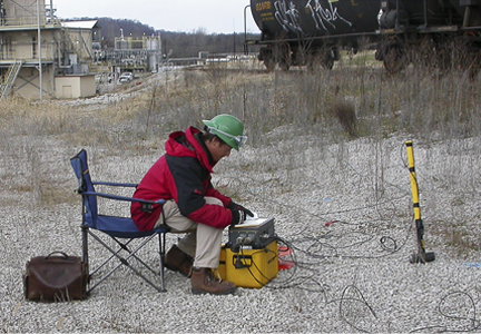
Electromagnetic data was collected across the island using a Geonics EM-34 with a 20-m coil separation (vertical coil orientation). Sub-meter accuracy positioning of the EM data was established using a Trimble GeoXH GPS system. A total of 1,900 measurements were collected across the island. The survey was conducted at the ends of both the wet and dry seasons in order to document the seasonally-driven changes to the aquifer. Conductivity values were modeled to provide an estimated depth to the interface between fresh/salt water. Modeled interface depth was within 1-2 ft of actual depth as determined from vertical salinity profiles collected from available monitor wells. A simple second-order polynomial equation was developed that directly calculates the thickness of the freshwater lens from a single conductivity value. Determined lens geometry was also compared a similar, but smaller in scope, study performed in 1987.
Vertical Salinity Profiles were also determined within 8 available monitor wells. Readings were collected at 1 to 2 ft intervals using a Solintest 850 Conductivity/Temperature probe. For the inland portion of the lenses, the transition from fresh to salt water was vertically well defined and typically occurred over a 2-3 ft interval. The transition zone for the perimeter of the lenses was wider (5 to 7 ft) reflecting the dynamic nature of this portion of the aquifer.
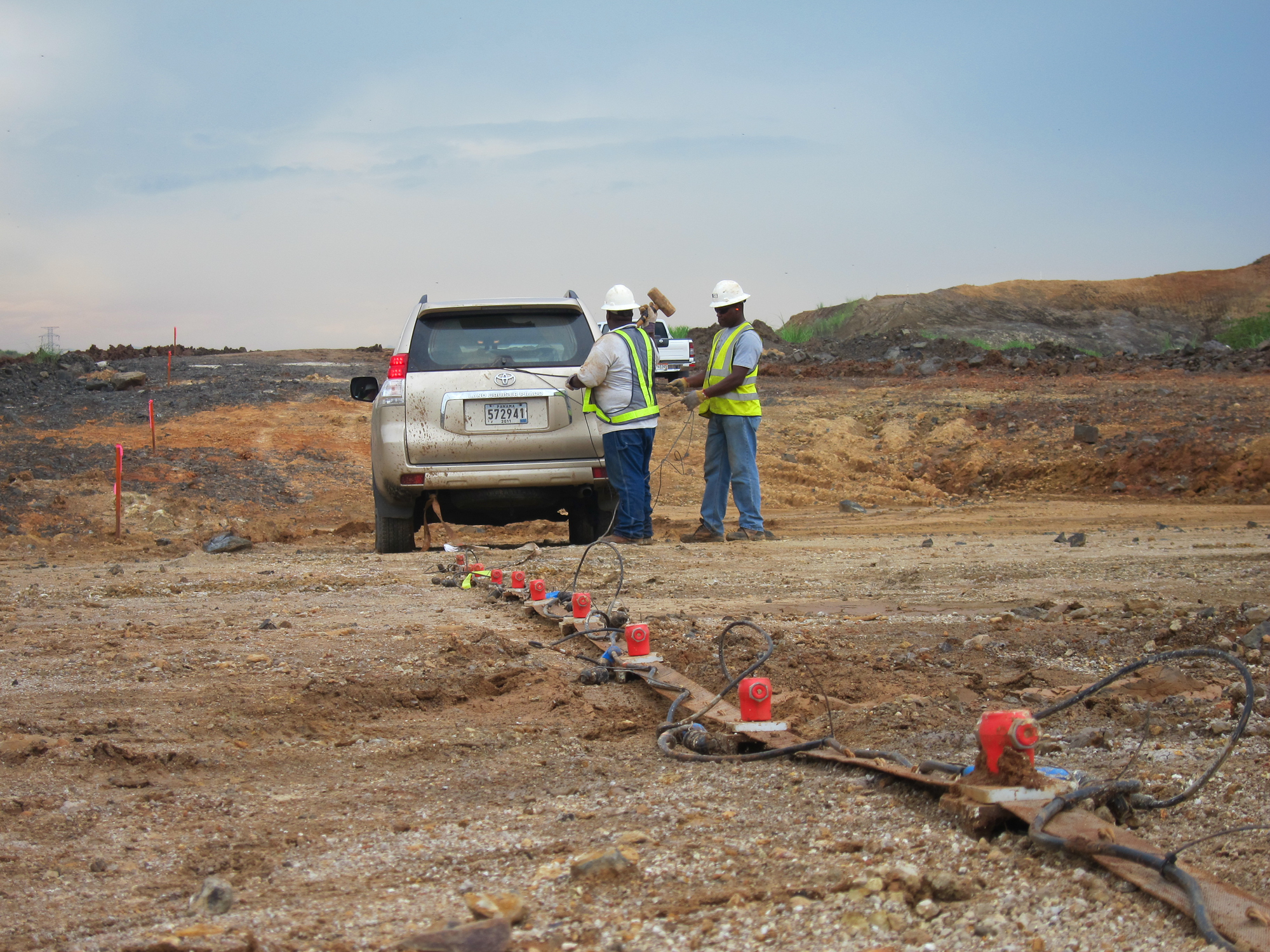
Two ERI transects were performed to demonstrate the effectiveness of the ERI method and to document the hydrogeologic control that the underlying high-transmissivity limestone stratum has upon the maximum thickness of the freshwater lenses. The ERI survey was conducted using the Advanced Geosciences, Inc. Super Sting R8 automatic electrode resistivity system. Each transect was 550 ft in length and was constructed using 112 electrodes with an “a spacing” of 5 ft. A dipole-dipole combined with an inverse Schlumberger electrode configuration was used with a maximum “n value” of six.
Two discrete lenses exist on the island because of a topographic low in the middle of the island which effectively splits the aquifer into a north and south lens. Maximum lens thickness is controlled by an underlying high-transmissivity limestone stratum. GeoView also designed a network of 20 monitor wells that will document the contraction and thinning of the freshwater lenses over the decades to come as a result of sea level rise. Through the work of GeoView and other science professionals, management strategies are being developed to document and to manage, to the extent possible, the effect of climate change on vulnerable ecosystems.

Click on the Data Samples Below to Enlarge
 Groundwater Specific Conductance Measured at a Monitoring Well
Map Showing Thickness of Freshwater Aquifer (Wet Season)
Key Deer Whose Primary Habitat is on Big Pine Key


