


Geotechnical Characterization Studies
Geophysics should be an integral part of any geotechnical site characterization study. GeoView has performed thousands of geophysical surveys as part of geotechnical characterization studies. The projects are managed by licensed professional geologists who have the tools and the knowledge to bring the appropriate method to each job. The following are common applications of geophysics in these studies.
 Mapping Top of Rock.
- Methods include seismic refraction, seismic reflection, electrical resistivity imaging
Mapping faults
- Methods include seismic reflection and refraction, electrical resistivity imaging, MASW and VLF surveys
Determining the p-wave velocities of the soils and rock. Useful in rippability studies.
- Methods include seismic refraction, crosshole and downhole seismics
Determining the shear-wave velocities of the soils and rock. Useful in Vs30 studies.
- Methods include MASW, downhole and crosshole seismics and shear wave refraction
 Mapping confining units.
- Methods include seismic refraction, ground penetrating radar, electrical resistivity imaging and borehole geophysics
Mapping shallow voids.
- Methods include ground penetrating radar, MASW and slab impulse response (for voids directly below concrete) techniques.
Mapping groundwater flow
- Borehole geophysics and dye tracing
 Mapping karst/sinkhole features
- Methods include seismic refraction, seismic reflection, electrical resistivity imaging, ground penetrating radar, gravity, frequency domain electromagnetics and MASW.
Determining Electrical and Thermal Properties of the subsurface
- 4-pin electrical resistivity soundings and in-situ and lab thermal resistivity studies
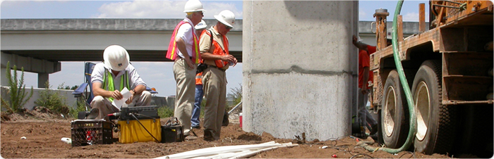
The data can be used to provide continuous profiles from SPT and CPT boring data and to help with the placement of future test locations. The results can be incorporated in an AutoCAD or ArcView format as part of the final report. GeoView has performed a broad array of geological and geotechnical studies. These have ranged from small residential karst studies to foundation design studies for Liquefied Natural Gas facilities.


Geophysical Survey to Determine the Cause of a Collapse of an Elevated Roadway