Global Positioning Systems
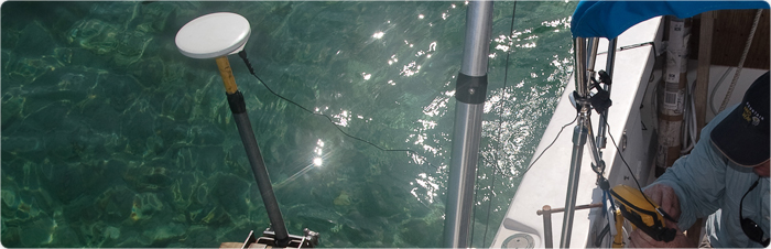
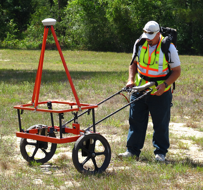
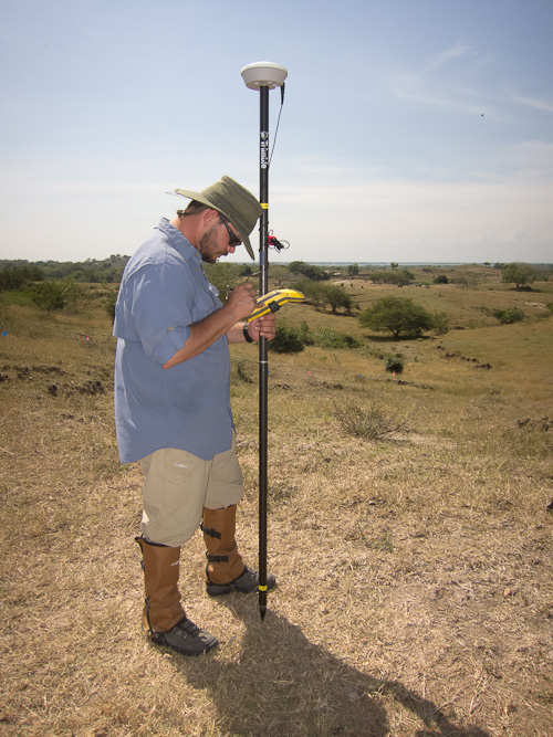
Global Positioning Systems (GPS) have greatly improved the speed and accuracy of many types of geophysical surveys. The GPS data can either be integrated into the geophysical equipment or used to record the positions of the geophysical transects, obstructions and targets of interest. For land surveys, GeoView uses both Novatel and Trimble mapping grade GPS systems. The resulting accuracy is designed to be sub-foot. For marine surveys, an RTK system can be used to increase vertical accuracy to correct for tides and pitch and roll of GeoView’s survey vessel.