Magnetics

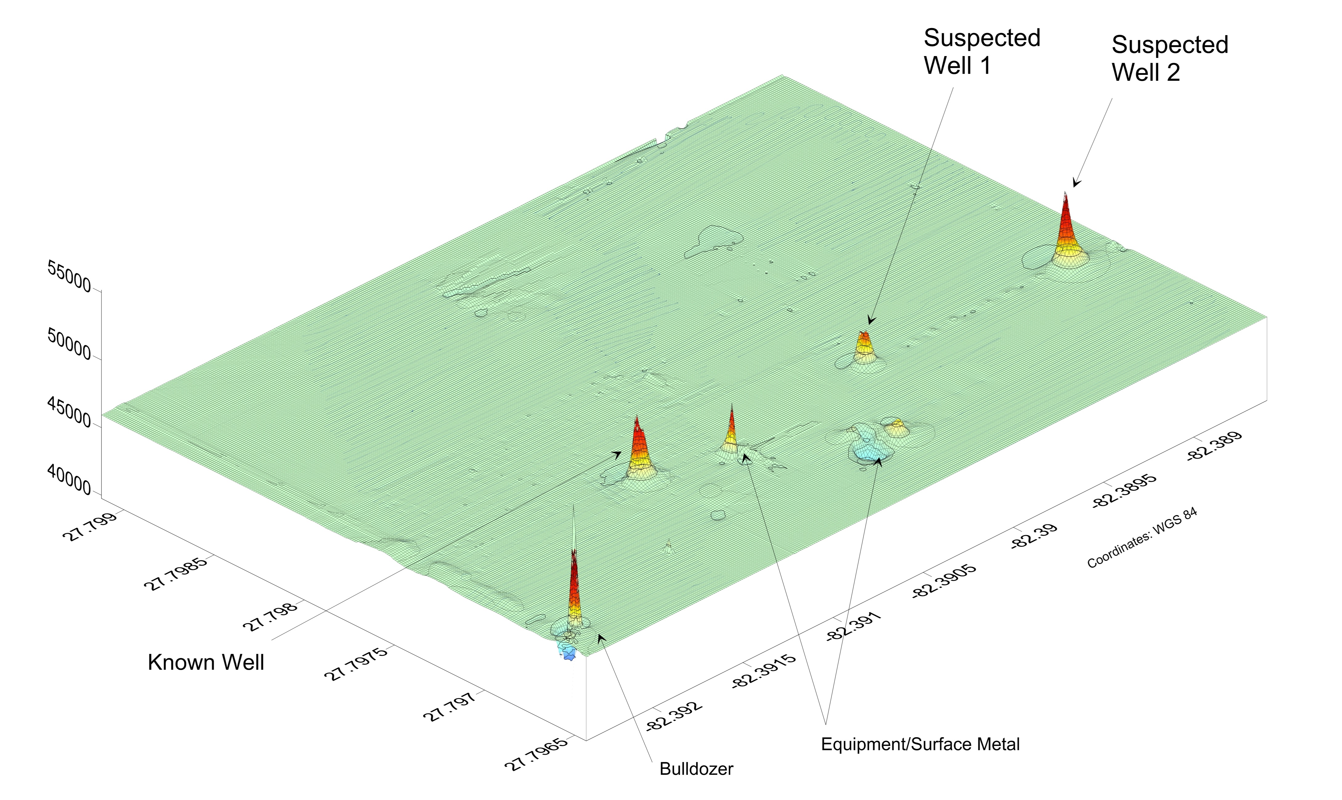
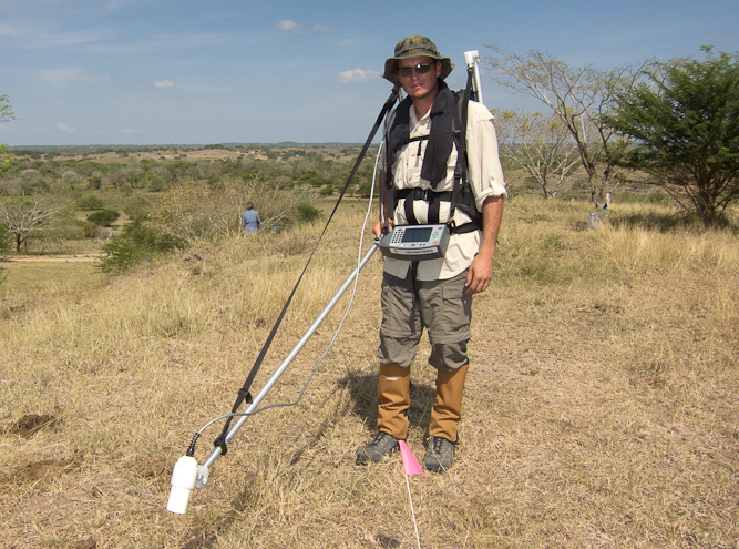
Local variations in the earth’s magnetic field are caused by ferromagnetic objects (iron-bearing minerals or metals). A magnetometer can detect these variations and precisely locate the source. Typically, a survey is conducted along a series of parallel transect lines whose spacing is dependent upon the target size and suspected geometry. Instrument response and positioning data are recorded and the results are presented as a contour map of magnetic response. Periodic readings from an on-site base station can be collected and analyzed during the survey in order to remove the effect of naturally-occurring, daily-magnetic drift contributions to the readings. After processing, the contour map of magnetic values can be overlaid upon engineering drawings, aerial photographs or nautical charts to aid in future site investigative or remediation activities. GeoView uses Geometrics G-858 and G-859 Cesium Vapor magnetometers and Schonsted handheld magnetometers for land surveys and Geometrics G-882 Cesium Vapor magnetometers for marine surveys. All Geometrics magnetometer units can be interfaced with GPS to provide sub-meter positioning accuracy to the data. GeoView has successfully used magnetics for:
-
Archaeological surveys
-
Utility Designation Studies
-
UXO (Unexploded Ordinance) Surveys
-
Locating buried monitor or production wells
-
Locating underwater objects
