Geological Characterization Study
Grand Bahama Island, Bahamas / 2008 / ERI
GeoView, Inc. performed a geophysical investigation across a 65-acre area where large bulk oil storage tanks were planned for construction. The purpose of the investigation was to evaluate the condition of the underlying limestone, which from previous work was known to be suspect in certain areas. Of primary concern was the presence of localized areas of weathered limestone or other karst-related features (e.g., voids or enlarged fractures) that might create weak zones within the limestone rock.
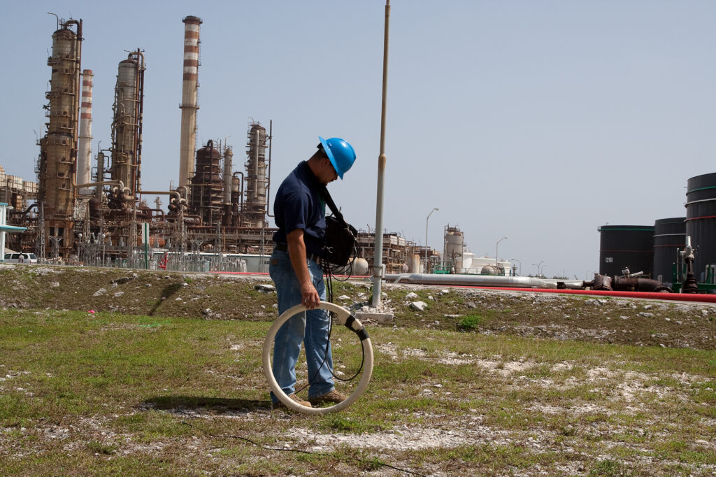
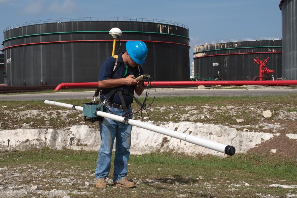
The investigation was conducted using Electromagnetics (EM) and Electrical Resistivity Imaging (ERI). The EM method was conducted using an EM-31 and an EM-34. The EM survey allowed for a rapid evaluation of site conditions from both shallow (0 to 15 ft [EM-31]) and deep (0 to 45 ft [EM-34]) depth ranges. The ERI method evaluated conditions to 90 ft below land surface. The EM survey was conducted across the entire project area, while the ERI survey was conducted only across areas where suspect areas were identified by the EM survey. The purpose of the EM survey was to map the lateral extent of weathered/weakened limestone rock. The purpose of the ERI survey was to confirm the EM results and provide the vertical extent (depth) of the weakened rock.
An excellent correlation between the EM and ERI survey results was obtained. Results from the EM surveys showed the presence of multiple areas of increased conductivity. ERI transects performed across the EM anomaly areas, confirmed the EM results and determined the vertical extent of the anomaly areas. Subsequent direct testing indicated that these highly conductive areas were associated within localized areas of preferential limestone weathering and fracturing.
The ERI survey also identified an area of highly resistive material in the northeastern portion of the survey area. This area was shown to have a highly resistive limestone with minimal weathering, which would allow for an excellent foundation and provide the opportunity for the upsizing of the tanks in this area.