Electrical Resistivity
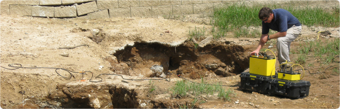
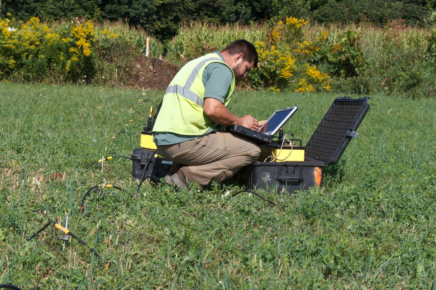
Electrical Resistivity measurements are performed by placing multiple electrodes in contact with the soil or rock. Current is transmitted and received between pars of the electrodes. The surveys can be performed as traditional, single Vertical Electrical Soundings or with multi-channel systems to produce continuous resistivity cross-sections of the subsurface (Electrical Resistivity Imaging). The depth of investigation and survey resolution is dependent upon the spacing between electrodes, overall length of the measurement line and site conditions. Investigative depths can exceed 250 to 350 feet with proper conditions. GeoView has 56 and 112 channel AGI Super Sting R8/IP systems for resistivity imaging and L and R Instruments, Inc. Super MiniRes systems for vertical electrical soundings. GeoView has successfully used electrical resistivity for:
-
Identifying and characterizing potential karst and potential sinkhole conditions

-
Mapping top of Rock
![]()
-
Mapping depth to saltwater ionic groundwater contaminant plumes

- Creating 1-D vertical resistivity profiles for power plant sitings