


Thermal Imaging
Thermal imaging cameras detect radiation in the infrared range of the electromagnetic spectrum (roughly 9,000–14,000 nanometers) and produce images of that radiation which are called thermograms. The amount of radiation emitted by an object increases with temperature; therefore, thermography allows one to see variations in temperature to a range of 0.1 degrees C. A thermal imaging camera is able to view and record these variations in temperature. GeoView owns and uses state of the art FLIR thermal imaging cameras and our operators are ITC Infrared Thermography Certified based on the requirements outlined by ANSI/ASNT CP-105 and CP-189 of the American Society for Non-Destructive Testing.
GeoView has successfully used thermography to:
-
Locate filled cells within masonry walls
-
Locate areas of moisture and water damage from leaking pipes
-
Detect potential electrical circuit overloads
-
Locate suspected faults and facies changes within exposed cliffs and road cuts
-
Identify areas of cliff face seepage
-
Locate shallow voids
-
Locate areas of insufficient insulation or areas of heat loss

Thermal Image Showing Rock Seepage Joints Along a Cliff, St. Maartin

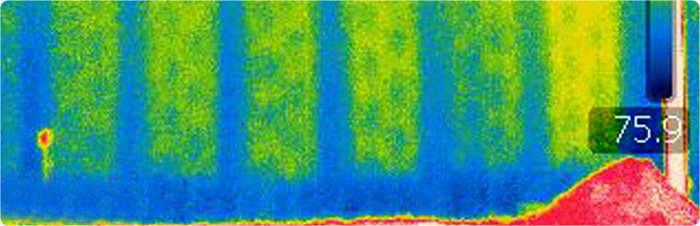
Thermal Image Showing Filled Cells of a Masonry Block Building

Thermal Image Showing an Area of Suspected Moisture on the Roof of a Condominium
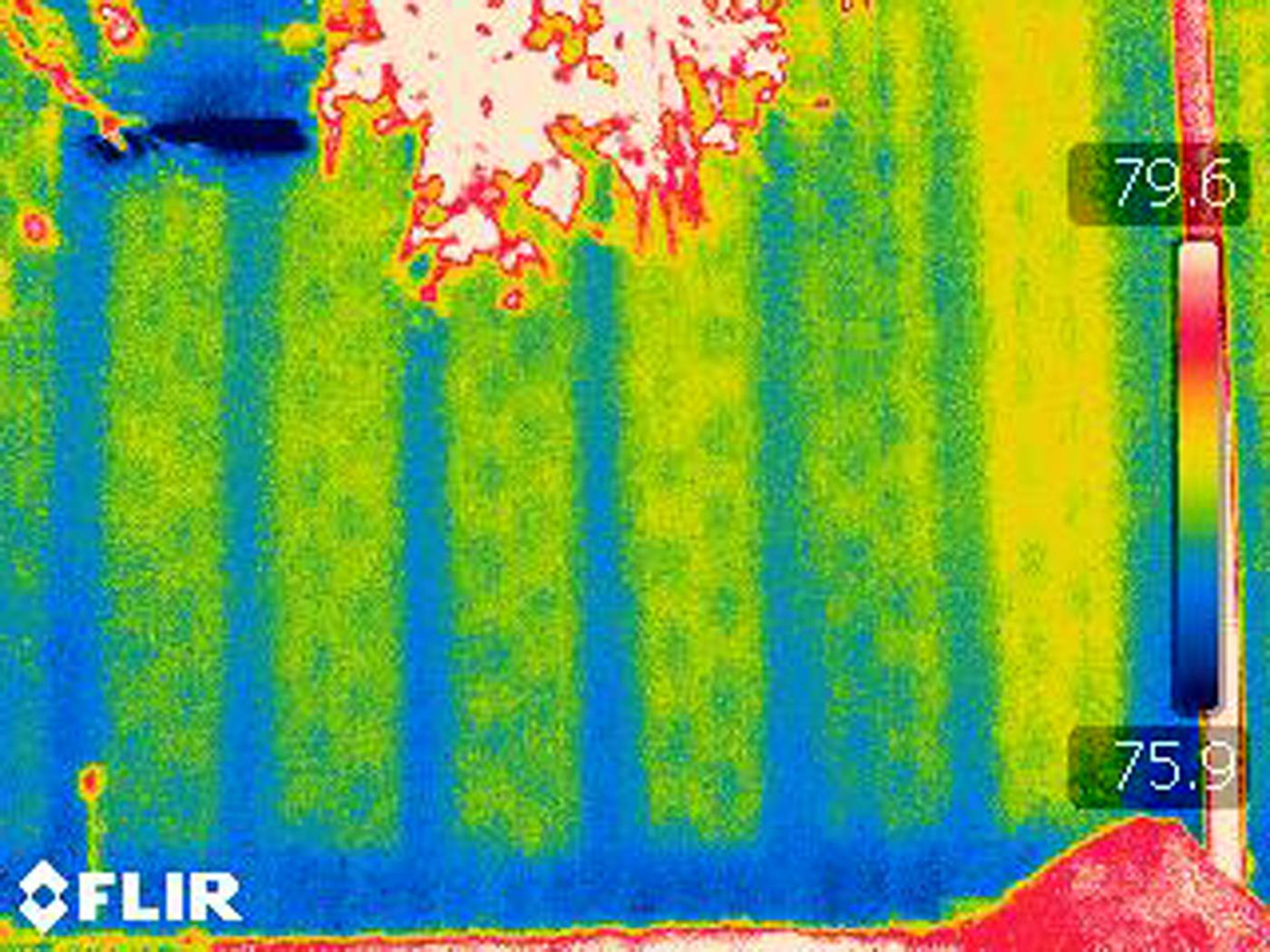
Thermal Image Showing Filled Cells of a Masonry Block Building