Scanning Proposed Borehole Locations for Utilities
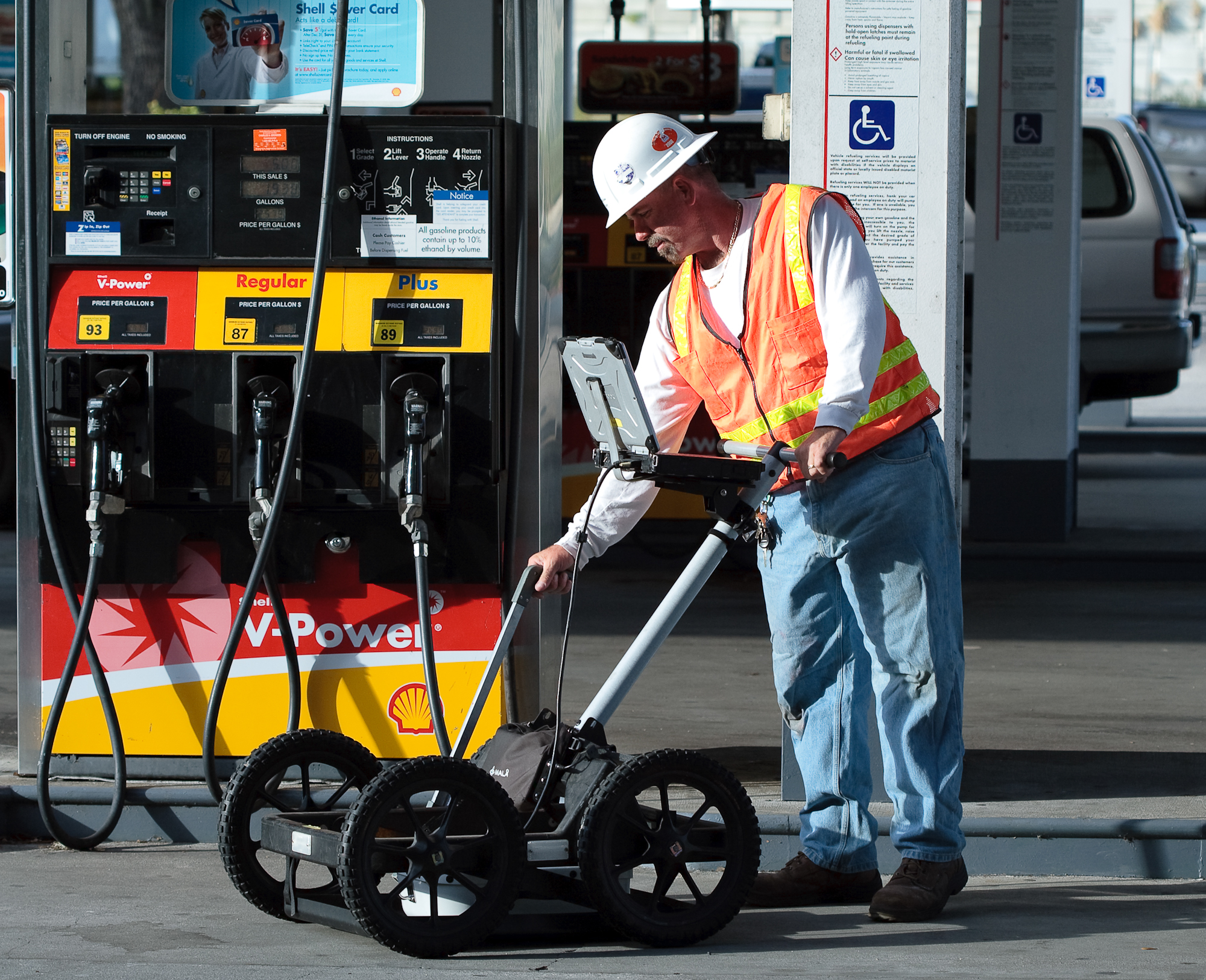
Environmental and engineering firms often are tasked with performing soil borings for monitor well installation as part of a Phase II Environmental Site Assessment. This task becomes more challenging when the borings are to be installed in gasoline stations, right of ways or other areas where there are numerous underground utilities that are either unmarked or not properly located. GeoView can assist in these situations by performing a private utility locate and marking the utilities within a 3 to 5 foot radius of each proposed borehole.
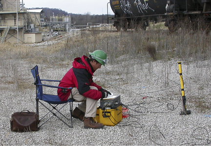
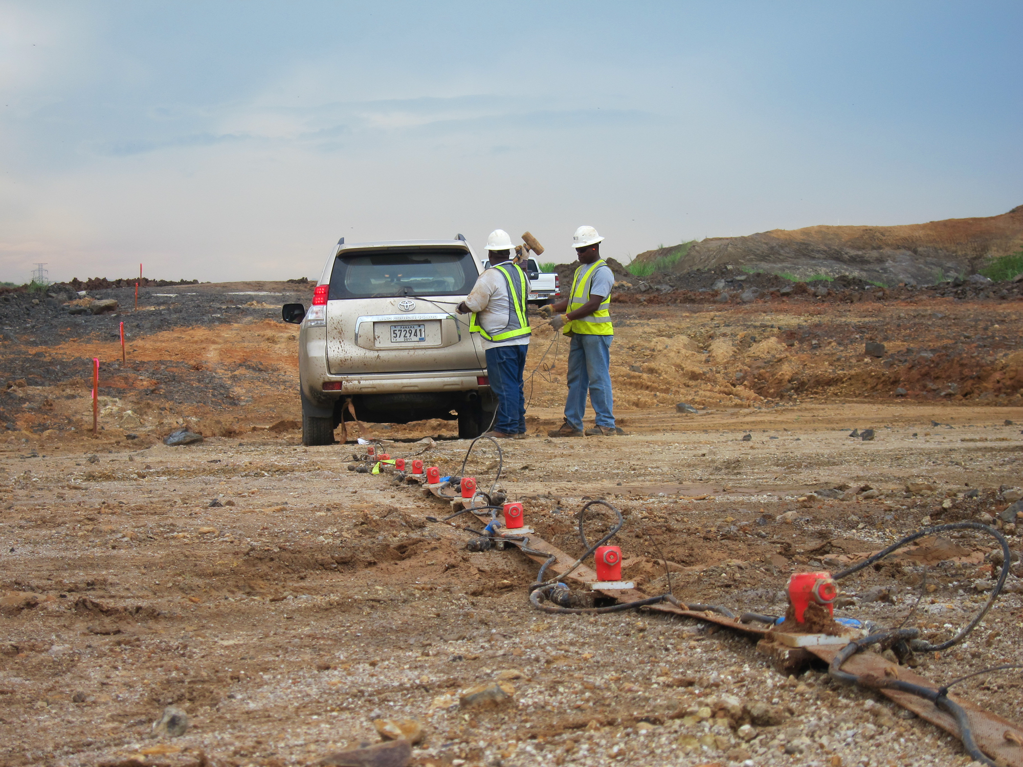
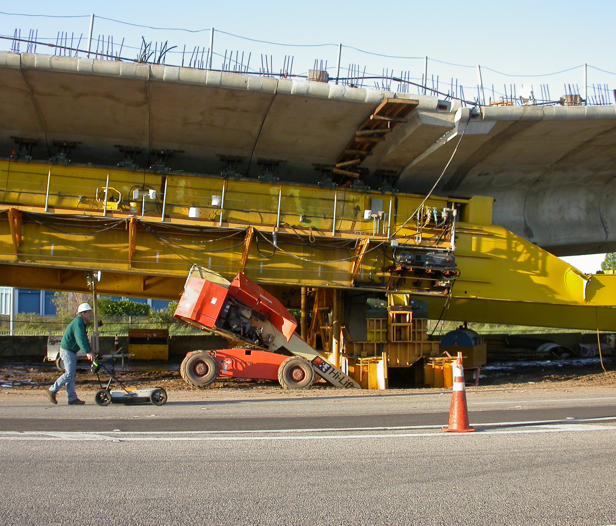
The geophysical investigation is conducted using ground penetrating radar (GPR) and electronic utility locate (EUL) equipment. The GPR is used to help identify both metallic and non-metallic underground utilities within the survey area. The EUL is used to identify any underground utilities that are either carrying electrical power or that can be energized by an induced electrical current. It is typically possible to evaluate the burial depth of the underground utilities using both methods. GeoView will mark any suspected utilities, vaults or other underground conflicts on the ground surface with marking paint, wire pin flags or other specified method. 
GeoView uses the American Public Works Association (APWA) uniform color codes for temporary marking of underground utilities which is as follows:
- Power (both active and inactive): red
- Telecommunications: orange
- Water: blue
- Sanitary: green
- Gas: yellow
- Reclaimed: Purple
- Unknown: Pink
During a boring clearing survey, figures are generally not requested or required. This differs from a site wide utility mark out in which a scaled AutoCAD figure showing the marked utilities and summary report are generated.
Vacuum Excavation of a proposed borehole can also be utilized to make certain no utilities will be impacted. This can be especially important when working in close proximity to fuel lines and fiber optic lines where the cost of an impact can be in the hundreds of thousands of dollars. Vacuum Excavation can also be used to physically expose unknown utilities identified during the GPR survey in order to ascertain the exact depth, diameter and composition of the utility.


