Our Team
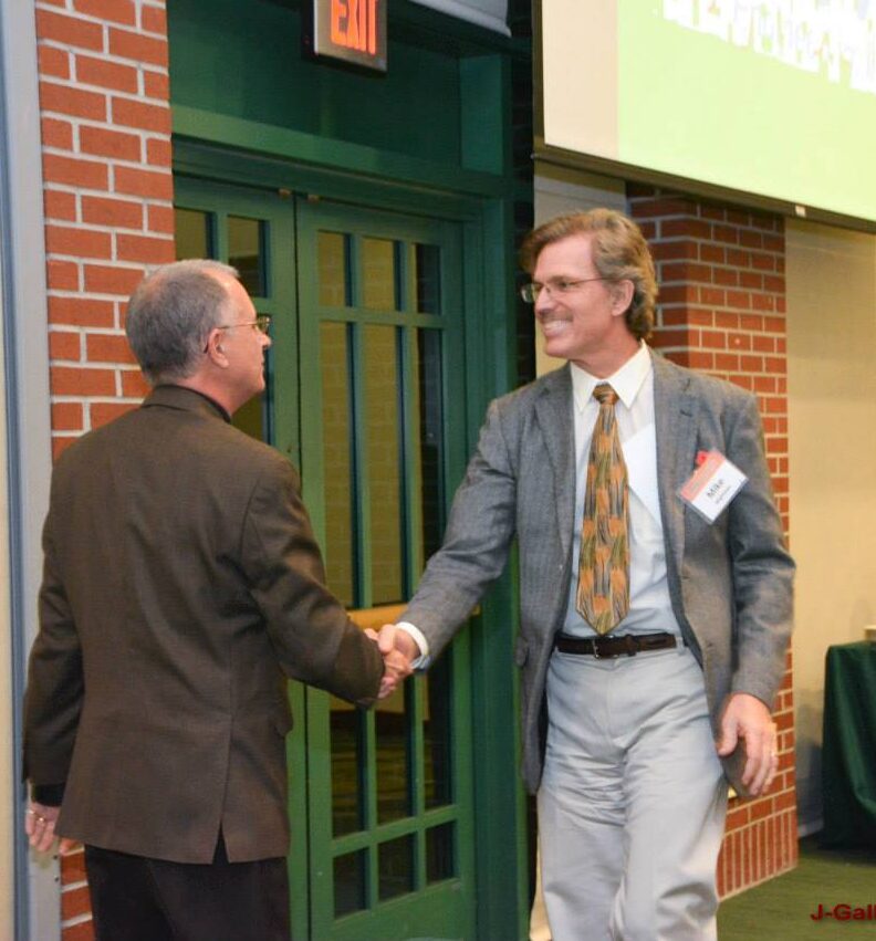
Michael J. Wightman, P.G.
President
Mike Wightman helped cofound GeoView in 2001. He has over 35 years of experience in the application of surficial geophysical testing methods for environmental, geotechnical, geological, hydrogeological, infrastructure and non-destructive testing of concrete structures related projects. He has a master’s degree in Geology from the University of South Florida with a specialization in surficial geophysics and karst hydrogeology and an undergraduate degree in Geology from the University of California Santa Barbara. He is a professional Geologist in the States of Florida and California. He was past President of the USF Geology Alumni Society and was recognized as the Outstanding Geology Alumni in 2024.
Christopher Taylor, P.G.
Senior Vice President
Chris Taylor helped co-found GeoView in 2001. He manages GeoView’s Northeastern office and has over 30 years of experience in the application of surficial geophysical testing methods to environmental, geotechnical, geological, hydrogeological, infrastructure and construction-related projects. He has a bachelor’s degree in Earth and Environmental Sciences with specialization in Geophysics from Lehigh University He is a professional Geologist in the States of Florida and Pennsylvania.
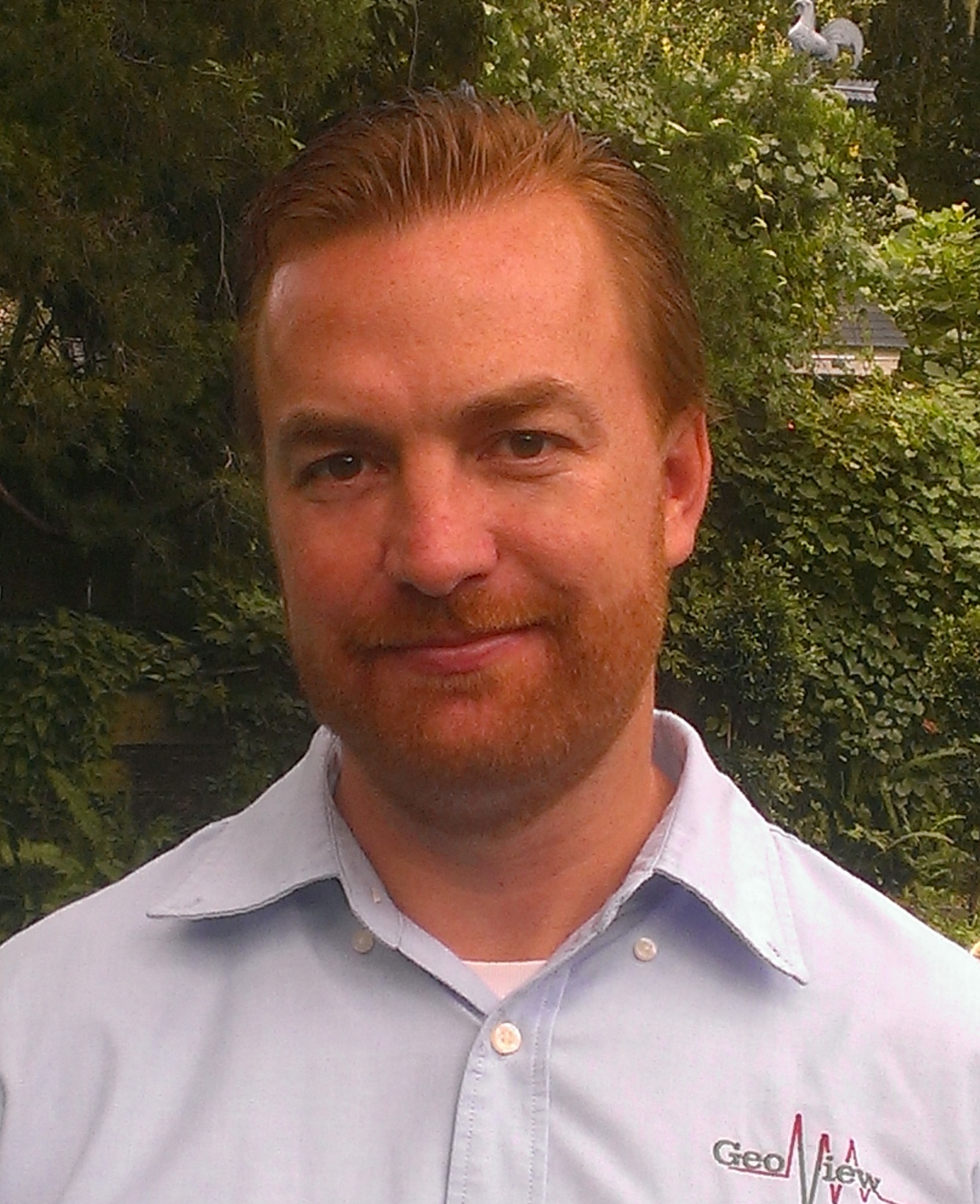
Stephen R. Scruggs, P.G.
Vice President
Steve Scruggs helps manage operations through the company and has over 25 years of experience in the application of surficial geophysical testing methods to environmental, geotechnical, geological, hydrogeological, infrastructure and construction-related projects. He has a master’s degree in Geology from the University of South Florida with specializations in geophysics and hydrogeology and a B.S in Geology from the University of Florida. He is a professional Geologist in the State of Florida.
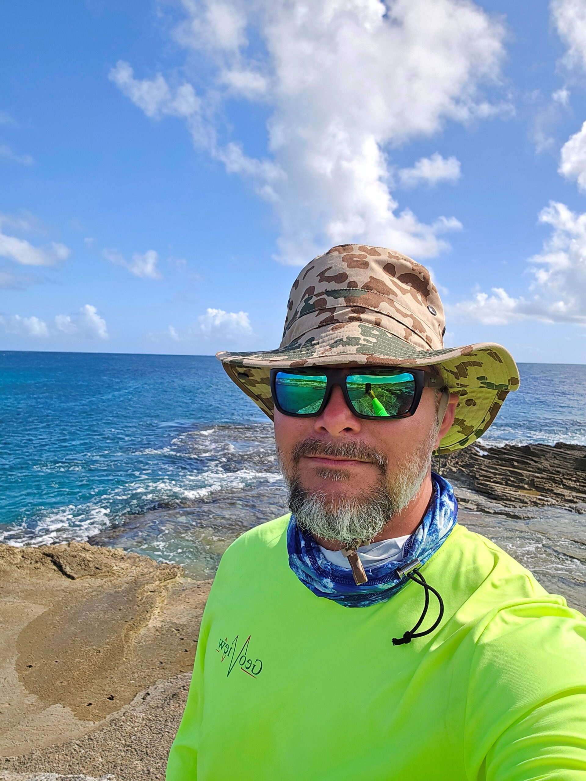
Sean Malphurs
NE Florida Manager
Sean Malphurs has over 20 years of experience in designing, managing, and conducting multi-method geophysical surveys across the United States, the Caribbean, Central, and South America for GeoView. His expertise is in collecting, mapping, modeling, interpreting, and presenting geophysical data to an extensive array of clients across many industries. He has designed and conducted over 10,000 multi-method geophysical investigations related to engineering, construction, environmental, public safety, archaeological, and academic projects with an emphasis on data quality and site safety.
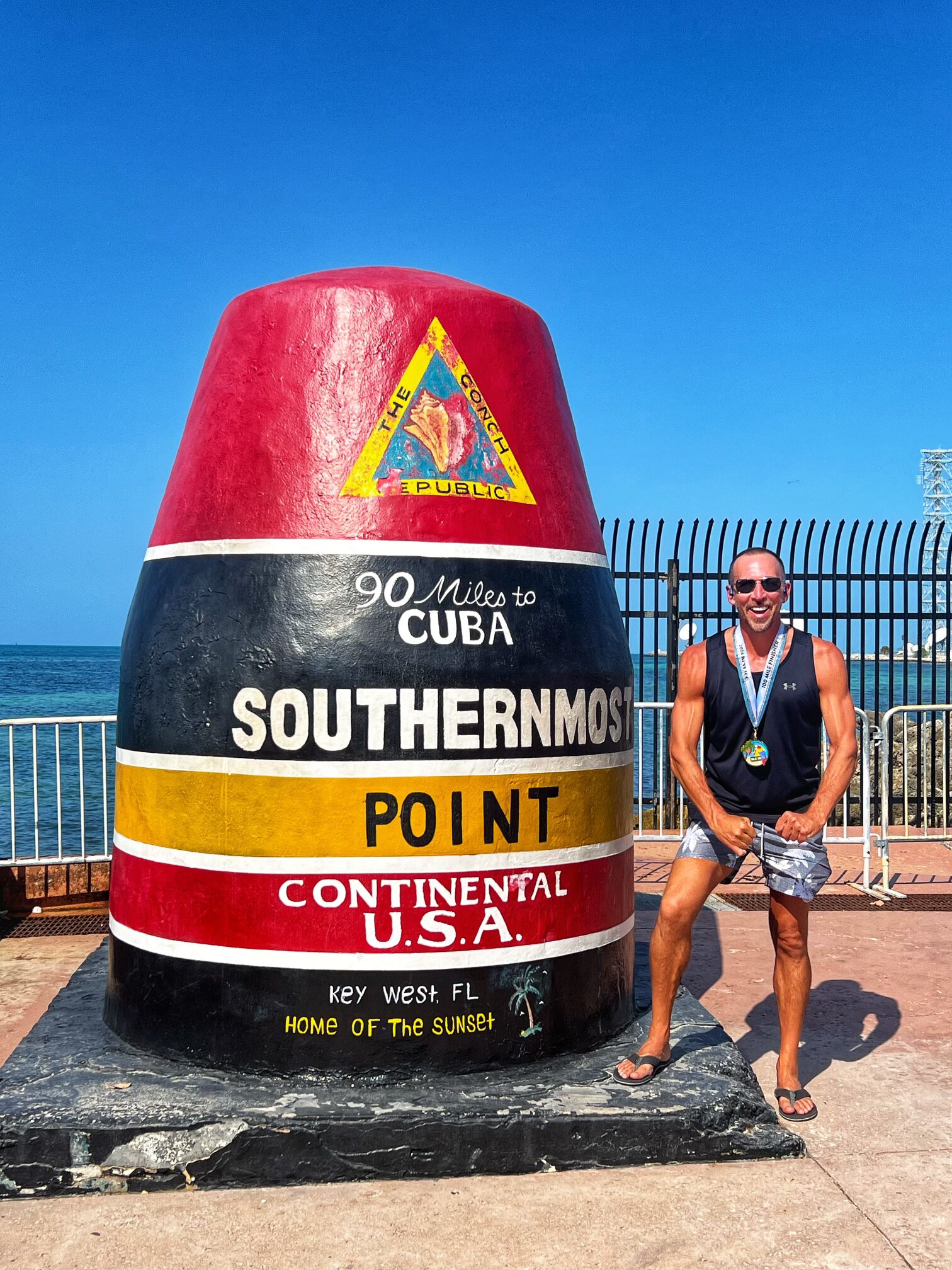
Craig Fusaro, REM
SE Florida Manager
Craig Fusaro has over 27 years of experience in managing and conducting geophysical and environmental projects in Florida. He is a Registered Environmental Manger and is able to use that knowledge when designing geophysical investigations. He is a certified Ground Penetrating Radar Operator and is proficient in the use of electromagnetic, magnetics, resistivity, conventional EM utility location and GPS equipment. He is also an ultra marathon champion.
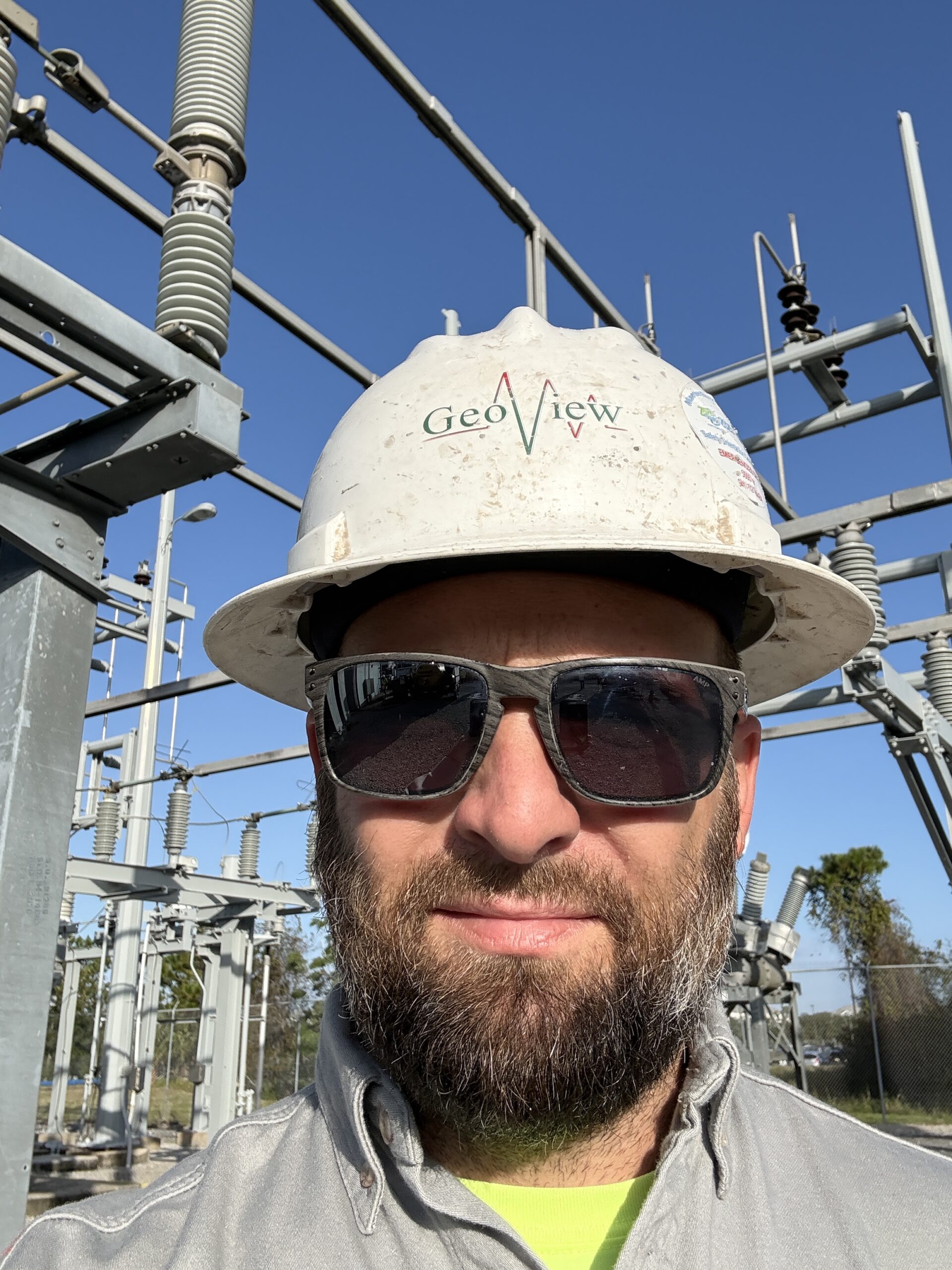
Roger Clint
Utility Manager
Roger Clint is the Utility Manager and Subsurface Utility Engineering (SUE) Lead for GeoView & Associates. He has been locating underground utilities since 2011 and brings hands-on field experience from projects across multiple countries and a wide range of site conditions. With management experience dating back to 2006, Roger currently leads GeoView’s utility locating, SUE, and vacuum excavation operations, overseeing everything from project planning and client coordination to field execution and quality control. He is known for a practical, solutions-driven approach and for delivering clear, defensible utility data that helps clients reduce risk and move projects forward with confidence.
Merritt McLean
Ocala Office Manager
Merritt serves as GeoView’s Ocala Office Manager and leads our marine geophysical and geotechnical operations. With over 20 years of specialized experience across the United States, he manages surficial and marine investigations, directing everything from high-resolution hydrographic inlet surveys and sediment searches to environmental and karst evaluation studies. Merritt is highly proficient in the deployment, operation, and processing of advanced marine systems—including sidescan sonar, seismic sub-bottom profiling, and magnetometers—utilizing industry-standard platforms like Hypack Multibeam and SonarWiz. Merritt is a senior level project leader and manages some of GeoView’s most complex geotechnical, environmental and infrastructure-related projects.
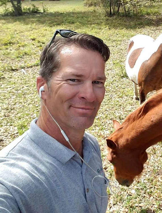
Dale Rabineck
Orlando Office Manager
Dale serves as GeoView’s Orlando Office Manager, bringing over two decades of geophysical expertise to infrastructure, engineering, and environmental projects. Since joining GeoView in 2004, Dale has managed and executed thousands of near-surface geophysical investigations across the United States. He specializes in designing and implementing comprehensive Level A and B utility designation studies, including high-profile mapping projects for NASA’s Kennedy Space Center Visitor Complex, SpaceX, major port facilities, and military installations nationwide. Prior to joining GeoView worked as an environmental specialist and was a certified driller.
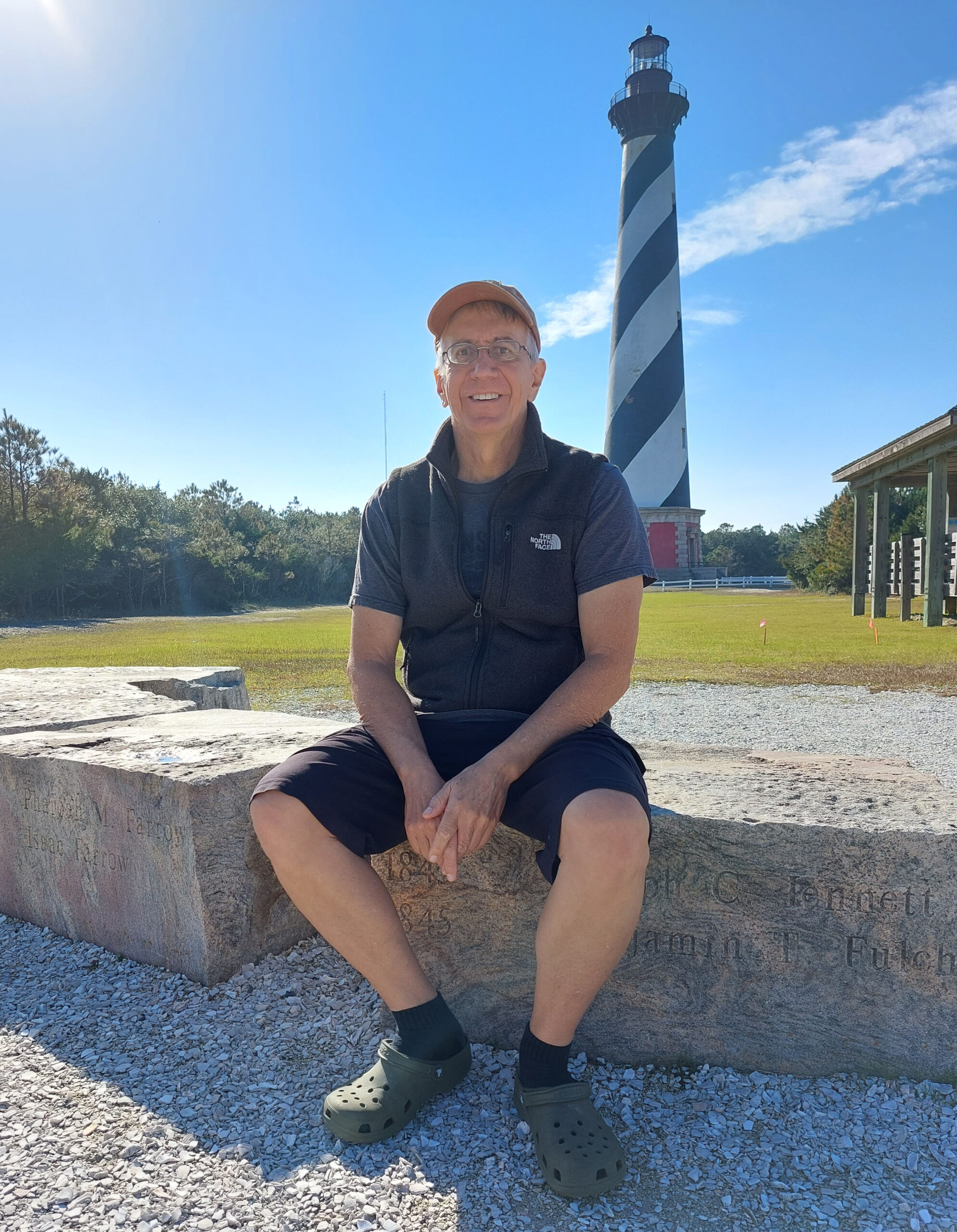
Bart Davies
Graphics Manager
Bart manages GeoView’s graphics department, overseeing the coordination, design, and delivery of all project-related visual data. Operating at a high volume, Bart ensures the precise execution of deliverables for an average of 150 projects per month, while serving as the primary point of contact for clients on all graphics-related matters. He is an expert in translating complex subsurface engineering data into clear visual formats using industry-standard applications like AutoCAD, ArcView GIS, and Surfer, and has personally designed multiple production templates to optimize company workflows.
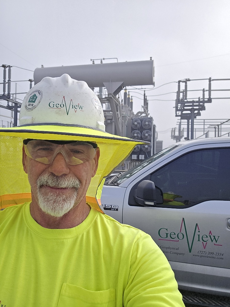
Robert Roth
Field Operations Manager
Robert Roth is one of GeoView’s earliest employees and brings more than 20 years of experience as a geophysicist conducting and managing subsurface investigations throughout the United States and the Caribbean. His project portfolio ranges from large‑scale investigations at NASA facilities, U.S. military installations, schools, and major commercial sites across the country to smaller, site‑specific studies throughout West Central Florida.
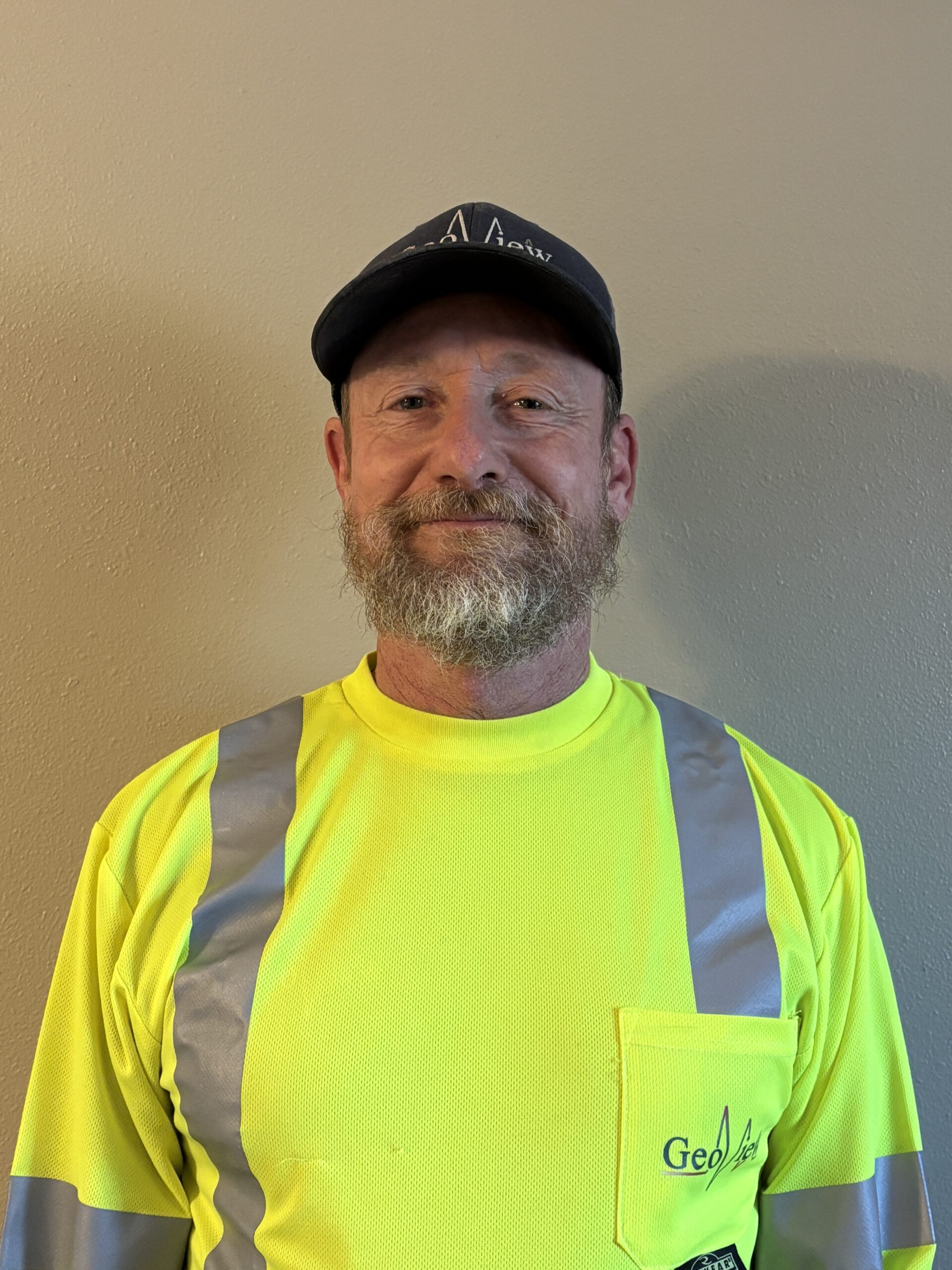
Scott Purcell
Senior Geophysicist
Scott Purcell is a Senior Geophysicist and has been with GeoView for 14 years and helps manage the GeoView corporate office in St. Petersburg, FL. He is an expert in the application of various geophysical test methods to environmental, geotechnical, geological, hydrogeological, infrastructure and the non-destructive testing of concrete structures related projects. He has a BA in psychology and zoology and has completed graduate level course work in hydrogeology and geophysics which were all completed at the University of South Florida. Prior to joining GeoView he was a geophysics project manager for 6 years at Sub-Surface Evaluations, Inc. He also served 5 years in the US Navy as a guided missile technician on the USS Ticonderoga.
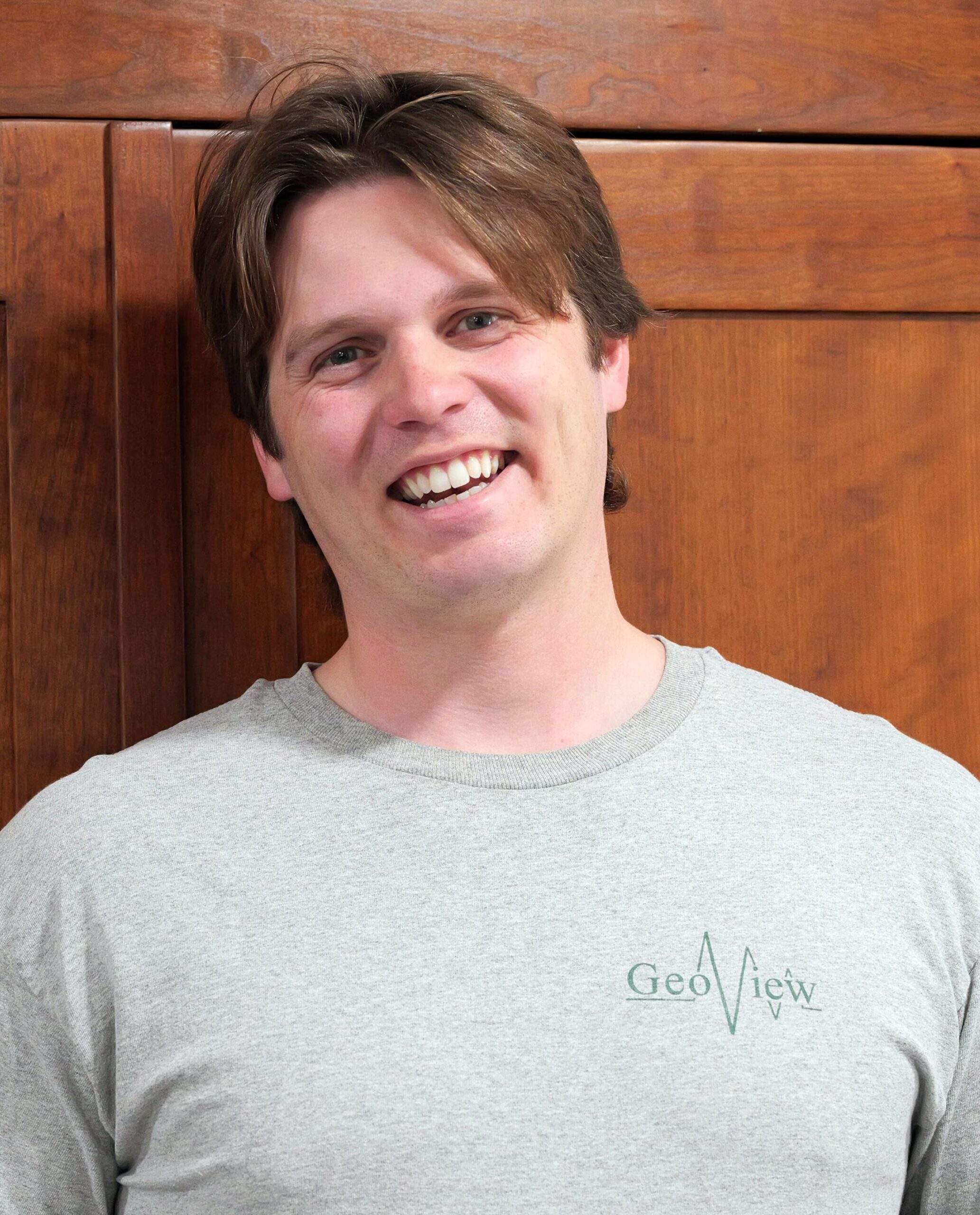
Jonathan Valentine
Geophysicist
Jonathan Valentine is a geophysicist and professional fossil diver based in Savannah, Georgia, where he lives with his wife and their temperamental 16-year-old yorkie. He graduated summa cum laude from the University of South Florida Honors College with degrees in geology and environmental science and began his career with the U.S. Fish and Wildlife Service at the nation’s first National Wildlife Refuge. In 2022, he joined GeoView as a Geophysicist I, supporting and leading utility locate projects at commercial facilities, hospitals, military bases, chemical facilities, and industrial centers. He is experienced with a wide range of geophysical equipment, including ground penetrating radar, electromagnetics, electrical resistivity, magnetometry and seismics.
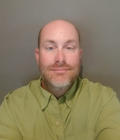
Wakefield Wade
Geophysicist
Wakefield joined GeoView in 2010, bringing a strong foundation in fieldwork coordination, surveying, and multi-method subsurface investigations. He specializes in surficial geophysical management, geophysical site characterization studies with a specialty in karst geology, structural infrastructure evaluations, and environmental site assessments. He has managed projects through the United States, the Caribbean and Central America. Wakefield is highly proficient in deploying a diverse suite of advanced technologies, including ground-penetrating radar (GPR), electrical resistivity imaging (ERI), multi-channel analysis of surface waves (MASW), time-domain electromagnetics (TDEM), and high-precision GPS mapping systems.
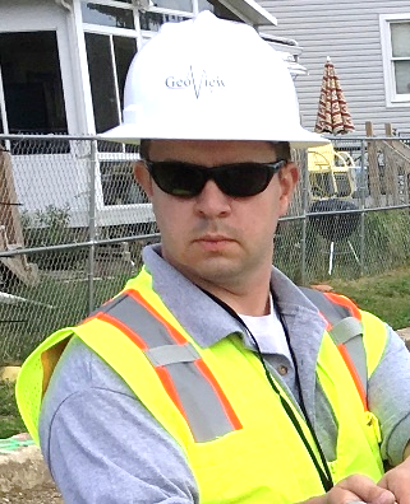
Peter Weston
Geophysicist
Peter joined the GeoView team in 2017, bringing a highly specialized background in borehole geophysics and near-surface subsurface investigations. He leads the fieldwork and complex data analysis for GeoView’s borehole logging projects, operating fluidly in fast-paced environments to provide clients with real-time, actionable data reports. Peter is highly proficient in industry-standard Mount Sopris and Robertson logging equipment, as well as WellCAD processing software, and possesses extensive experience navigating environmentally sensitive and contaminated well sites.
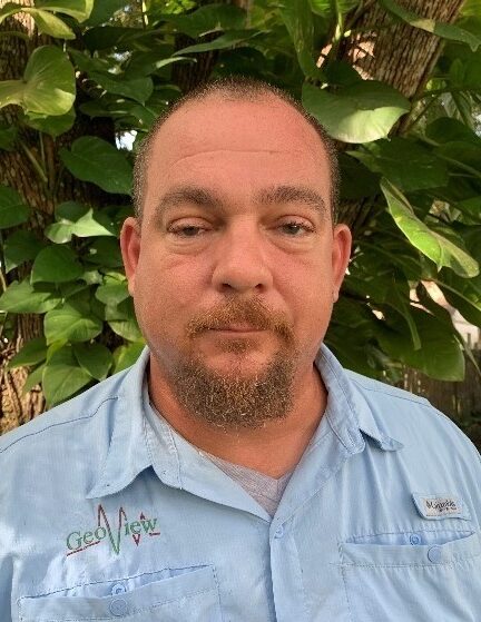
Jeremiah Smith
Geophysicist
Jeremiah brings a unique, multifaceted background in industrial trades and applied science to the GeoView team. Prior to joining GeoView he was a certified residential and commercial electrician and operated his own home improvement company. He specializes in surficial geophysical management, environmental site assessments, and advanced infrastructure investigations. Given his extensive previous experience as a journeyman electrician and construction business owner, Jeremiah is uniquely skilled in the non-destructive testing (NDT) and evaluation of concrete and foundation structures. He is highly proficient in deep diagnostic NDT methods, including impact echo, slab impulse response, SASW, and ultrasonic pulse velocity (UPV) testing, alongside traditional methods like ground-penetrating radar (GPR) and electrical resistivity imaging (ERI).
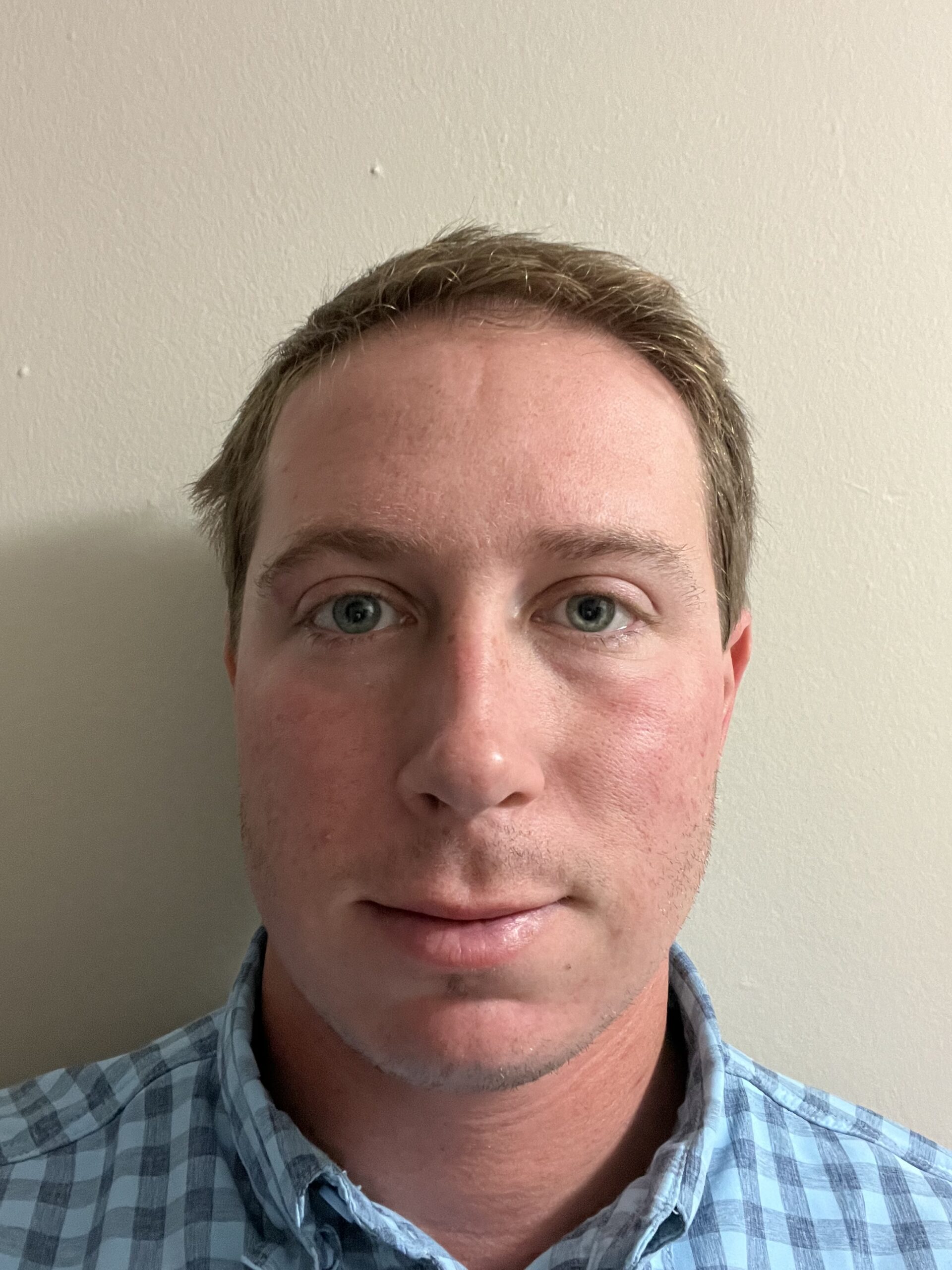
Alec Rizzo P.G.
Geophysicist
Alec brings a strong background in environmental geology, subsurface investigations, and field mapping to the GeoView team. His professional experience includes extensive work on environmental site characterizations, managing soil and groundwater sampling, oversight of well installation and monitoring, and technical reporting. Alec is well-versed in geologic field mapping, cross-section construction, lithologic logging, and environmental data collection, utilizing GIS and data management tools to deliver thorough assessments for client projects.
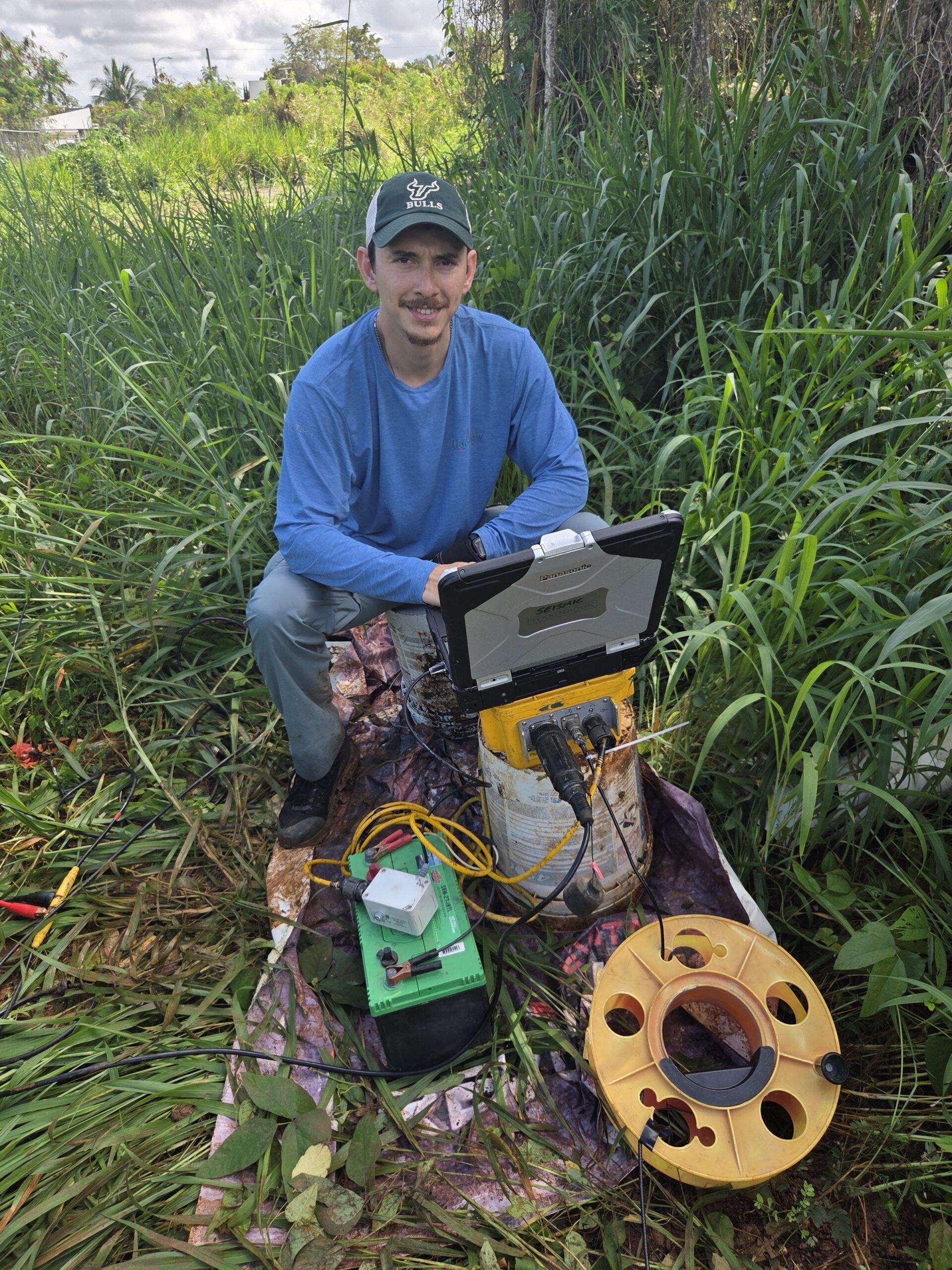
Daniel Ortiz-Diaz
Geophysicist
Daniel joined GeoView in 2023, bringing specialized expertise in near-surface geophysics, drone photogrammetry, and advanced subsurface characterization across the United States and Caribbean. His work spans engineering, environmental, and geotechnical investigations—including extensive karst and sinkhole risk evaluations, roof thermal imaging, utility mapping, and grave site identification for archaeological surveys. Daniel is highly proficient in deploying a broad range of geophysical methods, such as Electrical Resistivity Imaging (ERI), Ground Penetrating Radar (GPR), Multichannel Analysis of Surface Waves (MASW), seismic refraction, and electromagnetic systems (EM-31, EM-61, TDEM).
Sam Lucio
Geophysicist
Sam brings extensive field management and Subsurface Utility Engineering (SUE) expertise to GeoView, specializing in utility designation, mapping, and field operations. Throughout his career in utility locating and infrastructure management, Sam has overseen complex out-of-state utility projects, working directly alongside surveyors, contractors, and project managers to ensure precise, high-quality subsurface mapping.
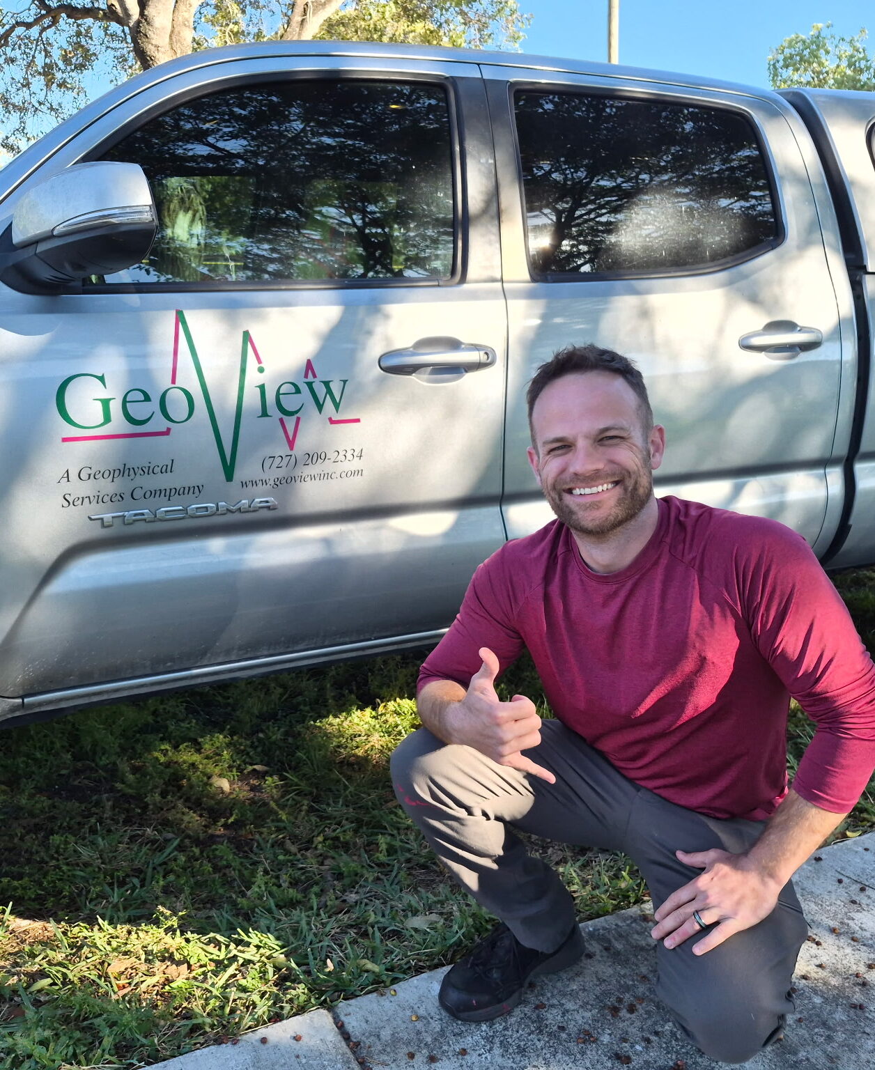
Noah Zaharias
Geophysicist
Noah Zaharias is a geophysicist based out of the SE Florida office of GeoView. After serving 6 years in the US Navy as a submariner, Noah decided that he really likes land, too, and so he headed ashore and acquired a B.S. in Physical Science from the University of South Florida. Immediately after graduating, he joined GeoView in 2025, is a GSSI-certified GPR operator and has spent his time supporting a wide variety of geophysical studies and projects. In his spare time, Noah enjoys going on nature walks with his lovely wife, Jessica and teaching their two children about the beauty of natural science.