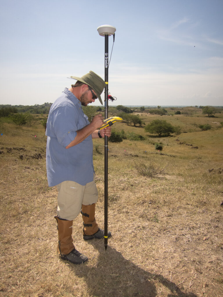
GPS
Global Positioning Systems (GPS) have greatly improved the speed and accuracy of many types of geophysical surveys. The GPS data can either be integrated into the geophysical equipment or used to record the positions of the geophysical transects, obstructions and targets of interest. For land surveys, GeoView uses both Emlid and Trimble mapping grade GPS systems. The resulting accuracy is designed to be sub-foot. For marine surveys, an RTK system can be used to increase vertical accuracy to correct for tides and pitch and roll of GeoView’s survey vessel.
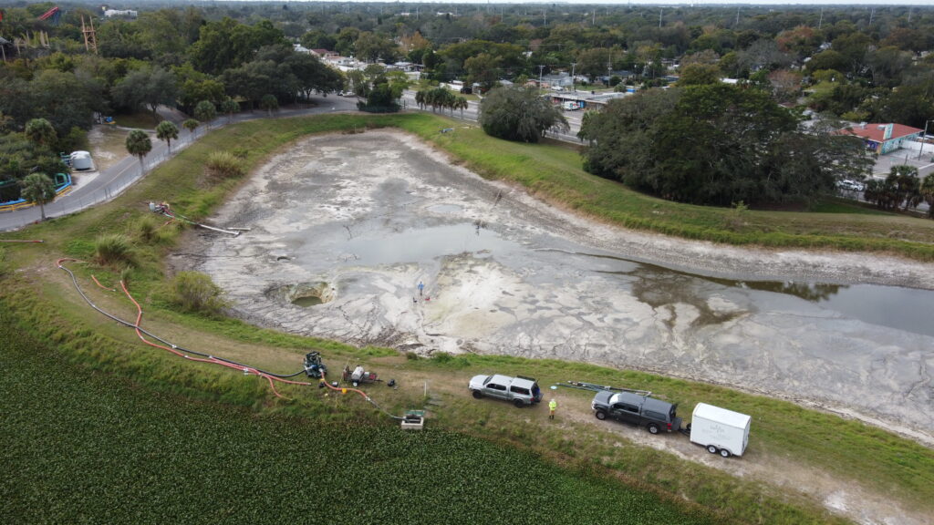
Drone
The DJI Matrice 300 RTK (M300), when integrated with the Zenmuse XT2, becomes a powerhouse for aerial surveys. This configuration pairs the drone’s 55-minute flight time and IP45 weather resistance with a dual-sensor payload that houses both a 4K/12MP visual camera and a high-resolution FLIR thermal sensor. The standout capability of this setup is FLIR MSX® technology, which embosses digital edge details from the visual feed onto the thermal imagery in real-time, allowing operators to identify structural elements without losing heat signature data. Furthermore, the M300’s onboard AI supports the XT2’s intelligent features, such as Temp Alarm, which triggers notifications if a surface exceeds a pre-set temperature, and Heat Track, which automatically locks the gimbal onto the hottest object in the frame.