Geophysics has been successfully applied to environmental investigations for many decades and has become even more accurate and cost effective with the integration of global positioning systems and more advanced computer modeling. Typical GeoView geophysics applications include:
Identifying Underground Storage Tanks (USTs) and Tank Pits
- The surveys are typically performed with both time domain electromagnetics (TDEM) and ground penetrating radar (GPR). The TDEM is used to located areas of buried metal and the GPR is used to characterize the geometry and depth of the targets.
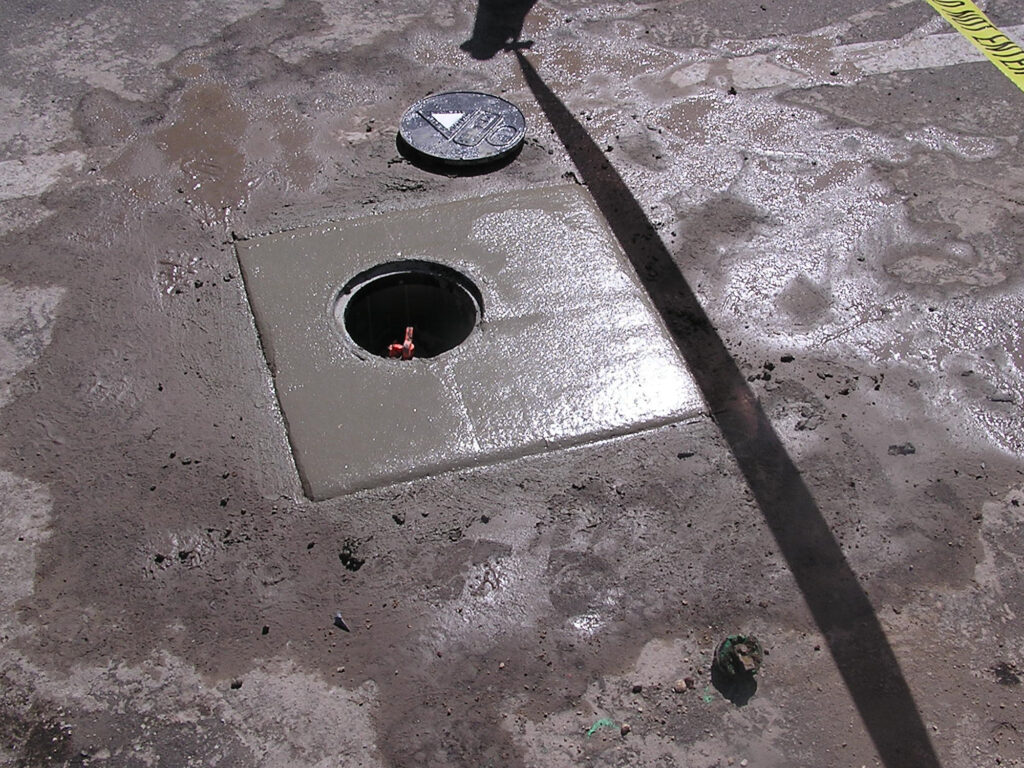
Mapping Underground Utilities prior to Drilling or Excavation
- The surveys are typically performed with a GPR and conventional electronic utility locators. The GPR is used to image non-metallic utilities (fiberglass fuel lines, PVC water lines, sewer, etc.) while the electronic utility locators are used to find electrical and telecommunication lines.
Delineating Karst Geological Conditions and Mapping Confining Units
- Identifying the karst features and groundwater confining units below a project site is necessary for groundwater flow models and determining locations for DNAPL traps. The surveys are typically conducted with GPR, ERI, seismics or gravity.
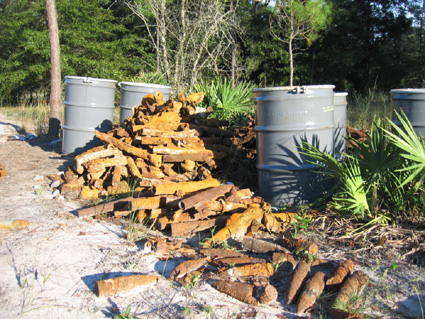
Locating Buried Drums
- The surveys are typically performed with a combination of GPR, TDEM, frequency domain electromagnetics (FDEM) or magnetics. The chosen method(s) is dependent upon the depth of burial, site accessibility, budget and estimated quantity.
Mapping Ground Water Contamination Plumes
- The surveys are typically performed with a combination of FDEM, ERI or borehole methods. The chosen method is dependent upon the chemical composition of the plume, depth of burial of the plume and site access.
Mapping the Horizontal and Vertical Extent of Buried Metallic and Non-Metallic Debris
- The surveys are typically performed with a combination of GPR, TDEM, FDEM, magnetics or electrical resistivity imaging (ERI). The chosen method(s) is dependent upon the composition, depth of burial, site access, budget and estimated lateral extent of the debris.
Identifying Unexploded Ordinance
- The surveys are typically performed with TDEM or Magnetics.
Mapping Archaeological Artifacts
- The surveys are typically performed with GPR, TDEM, FDEM or Magnetics.
Archeological
The use of geophysics has become increasingly beneficial to archaeological surveys. A geophysical survey should not be used to replace an in-depth archeological survey conducted by a qualified professional archaeologist. Instead, it should be used as one of many tools that can be applied to the investigation. Geophysics can be used to provide either a general site overview or a higher resolution image of a particular area of interest. This data helps direct future excavation efforts and additional archaeological work. The most common techniques used in archeological surveys are:
- Ground Penetrating Radar can be used to locate individual buried objects that have a different dielectric constant than the surrounding materials or to locate discontinuities in otherwise horizontal soil horizons created by excavation/trenching activities. The data can be either processed in 2-Dimensions to produce a cross section or 3-Dimensions to produce a series of plan view depth slices. GeoView has used GPR-Slice for 3-Dimensional GPR processing since 2005.
- Electrical Conductivity is used to locate localized changes in conductivity. These changes can be the results of buried metal, changes in soil/rock type, former excavation areas, or changes in moisture content. The data is typically presented as a plan view contour map of conductivity values. GeoView utilizes and owns Geonics EM-31, 34 and 38 conductivity meters for these types of studies.
- Magnetics is used to map localized changes in magnetic susceptibility. These changes can be due to natural geologic variations or due to buried ferrous metal, fire pits, buried clay pottery, stone walls and foundations. GeoView owns and uses a Geometrics cesium vapor magnetometer.
- Electrical Resistivity Imaging is used to map lateral and vertical changes in earth resistivity. It is typically used on large projects where the targets of interest may be buried up to tens of meters below overburden. GeoView owns and uses AGI R8 SuperSting 56 and 112 channel ERI systems.
- Metal Detectors are used to locate buried metal. GeoView owns and uses Geonics EM-61 MKII metal detectors for large scale surveys where data recording and depth of investigation (up to 3 meters) are critical. For small, shallow surveys, GeoView owns and uses MXT Pro metal detectors.
The successful implementation of geophysics to an archaeological survey depends on full teamwork between the archaeologist and the geophysicist, proper method selection and survey design, and a thorough understanding of both the benefits and limitations of each geophysical method. GeoView has worked with professional archaeologists to help locate:
- Individual gravesites
- Former cemeteries
- Pre-Colombian artifacts including metal, pottery, cooking pots, fire pits, gold ear and nose rings.
- 17th Century building foundations
- Civil War burials
- Historic lighthouse foundations
- Crime scene artifacts and burial areas